Innerdalen is a high valley in the west of Trollheimen, in Sunndal municipality in Møre og Romsdal. According to Wikipedia it became Norway’s first nature reserve in 1967 and covers 73 km². Fjord Norway and trollheimen.info call it Norway’s most beautiful valley, and our post says «supposedly the most beautiful high valley in Norway». We walked in on 25 August 2022, on a sunny and warm day of our road trip through Norway.
From the car park at Nerdalen the route first follows a tarmac road and then a gravel road over a rise into the valley. On the other side it goes down to the lake Innerdalsvatnet and the Renndølsetra summer farm. It is not a mountain path: According to ut.no you walk on gravel or tarmac all the way up and come back the same way.
Getting there and the car park at Nerdalen
We leave Ålvund around 09:30 and arrive at the car park, the starting point for this hike, at about 10 am. According to trollheimen.info you drive along the Rv70 to the turn-off at Ålvundeid and then on Viromdalsvegen through Viromdalen to Nerdalen.
The car park «Parkering Innerdalen» is by the Nerdal farm and has 89 spaces according to OpenStreetMap. It charges a fee, paid by app or card. OpenStreetMap gives 75 kroner today. What it cost in 2022 is not in our post. Next to it, according to OpenStreetMap, are a second car park, toilets, the farm’s kiosk and the «Nerdal» bus stop.
Up the gravel road
From the car park you first walk a short stretch on the tarmac Viromdalsvegen, which according to OpenStreetMap is private for motor vehicles from here. Then the gravel road Innerdalsvegen branches off and climbs through the forest. According to OpenStreetMap a path called Kløvstien runs alongside the road. We stayed on the road, and our track follows it too.
For us the hike was very easy by Norwegian standards, but the gravel road was quite steep. A route suggestion on ut.no, published by a private person, calls the tour medium and mentions some steep sections. Both fit together: It is a wide road, but steep in places. On our track the car park is at about 259 m and the high point of the gravel road at about 466 m.
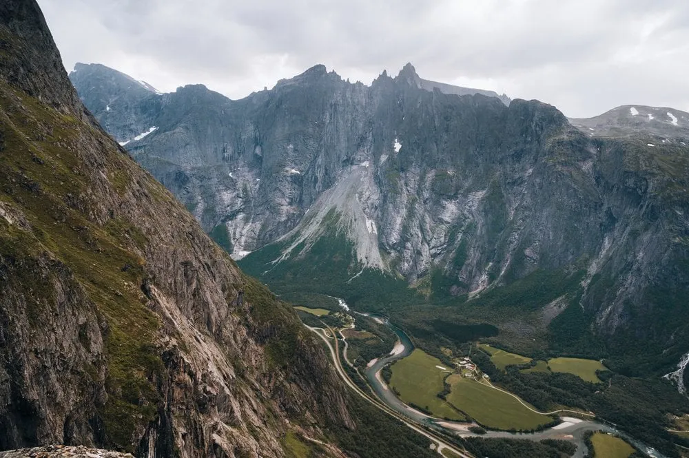
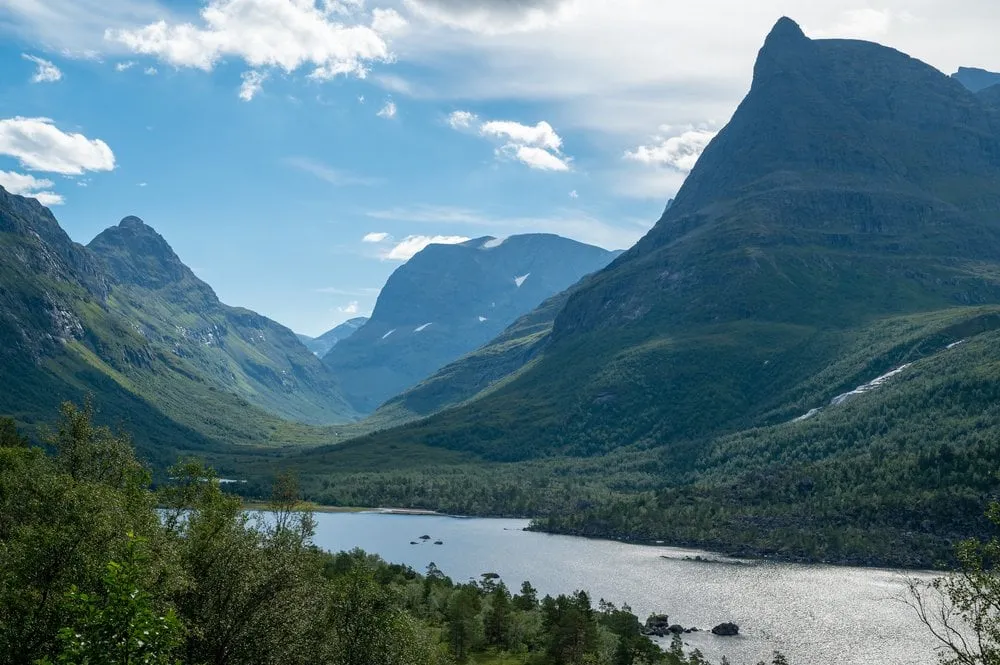
According to OpenStreetMap there is a board about the Innerdalen protected landscape at the highest point. Here we are rewarded. We get a beautiful view over the nature reserve with its dense forests, mountains and the lake.
Down to Renndølsetra and back
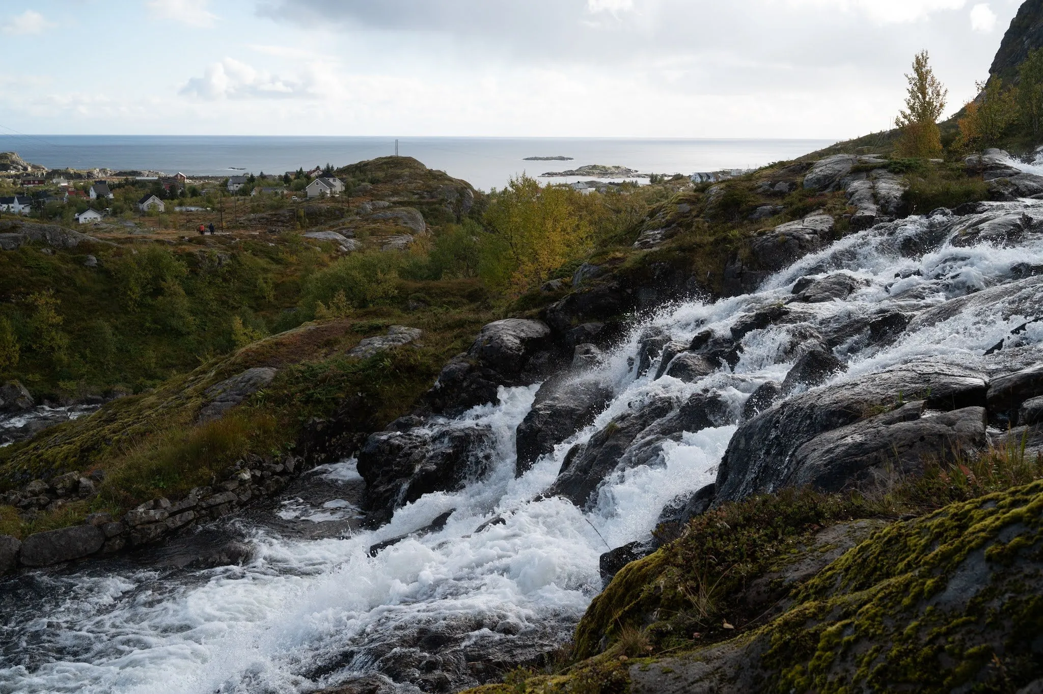
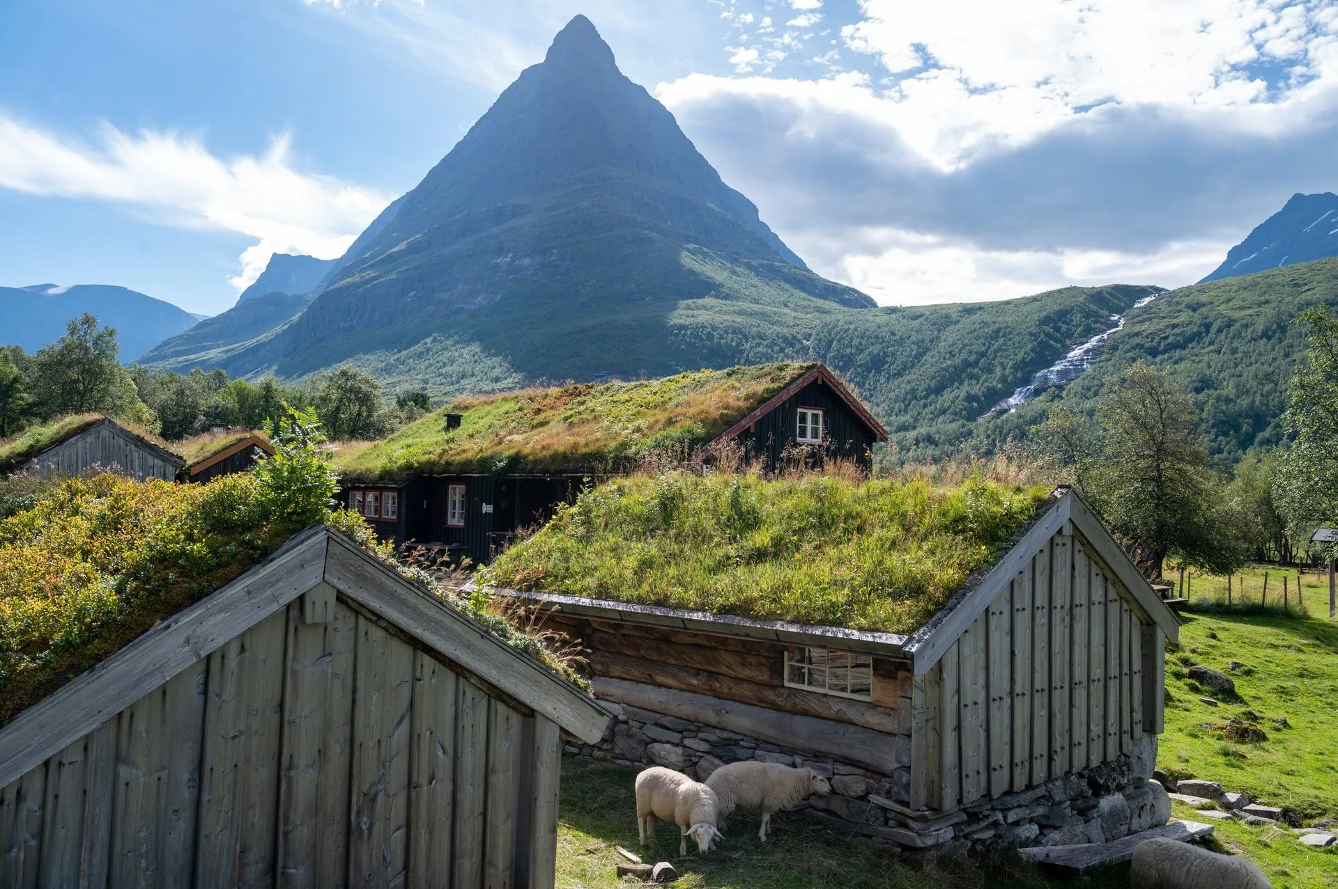
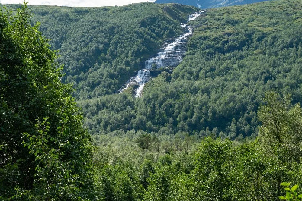
From the rise the road drops a little to Innerdalsvatnet. The only sign of people is a small farm in the valley below, the Renndølsetra summer farm. Here sheep and chickens run free. We feel like we are in the Shire. Lush green grass covers rolling hills, streams and waterfalls make their way down the valley, and the sun glistens on the lake.
According to innerdalen.com the Opdøl family has brought its animals up to this summer farm every summer since 1740. In season, usually from June to August, there is a café with waffles, produce from the farm and simple food. According to Wikipedia Renndølsetra and Innerdalshytta, originally built in 1889, are DNT huts. According to OpenStreetMap Innerdalshytta lies about half a kilometre further up the valley.
Where exactly we turned back is not in the post. But the photo of the farm was taken right by the buildings, and the chickens come to us during our picnic. That is why our track ends at Renndølsetra. We picnic in the warm sun. Chickens and sheep suddenly become very trusting and beg for a piece of our sandwiches. After a few selfies with a particularly trusting sheep, we walk back through the forest to the car. Afterwards we drive on to Isfjorden, where we climb Litlefjellet in the evening.
We did not record our own walking time. innerdalen.com and trollheimen.info reckon on about one hour from Nerdalen to Renndølsetra and give about 3.5 km and 4 km for the distance. Our track comes to 3.5 km one way. For the route to Innerdalshytta, ut.no gives 8.3 km there and back, 302 metres of ascent and 2 hours 30 minutes. According to ut.no the route is open from May to November, and in summer animals and goats graze in the valley.