66.2606° N 29.4169° E
Myllykoski, Oulanka National Park
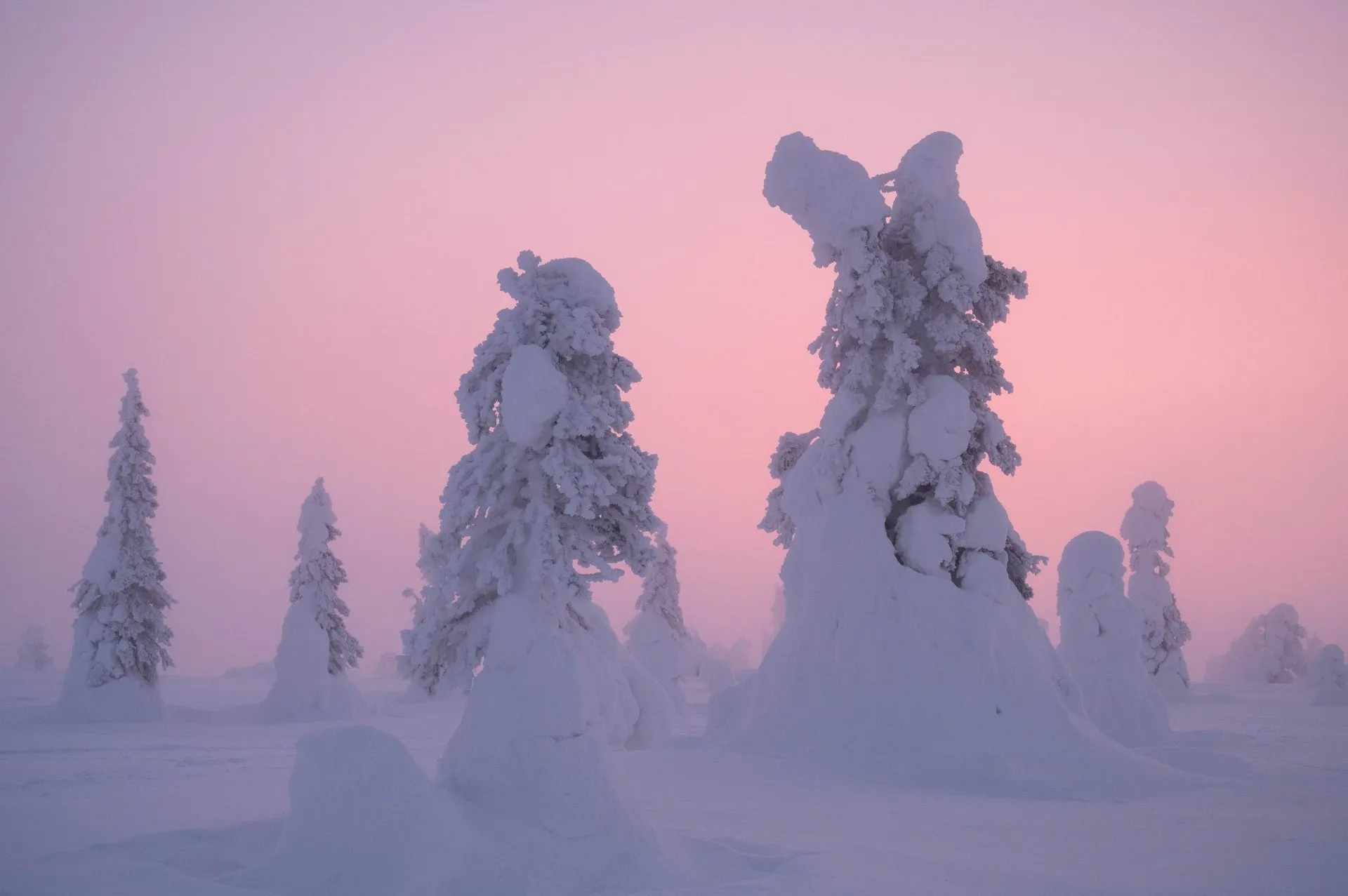
An old mill and suspension bridge above the roaring Kitkajoki rapids. In winter, deep-snowed forest frames the open channel.
- Best time
- Winter mornings · autumn colours in September
- Country
- Finland
- Latitude
- 66.2606° N
- Longitude
- 29.4169° E
On site
The old Myllykoski mill stands on the bank of the Kitkajoki in Oulanka National Park, north of Kuusamo. According to Wikipedia, residents of the villages of Juuma and Säkkilä built it in 1926. It mostly ground barley, for the last time in 1947/48. A suspension bridge leads across the river. According to Metsähallitus, which manages Finland's national parks, the view of the mill may be the most photographed landscape in the country.
On 5 February 2024 we drive to the national park on roads deep in snow, and again and again we wonder whether the studded tyres are enough. We park near a café, and the friendly woman working there gives us tips for the route. It should be fine without snowshoes, though we could also rent some from her. As far as the mill we make good progress in our normal boots on the fresh powder snow. The river is largely frozen over and covered in snow, and the rapids lie between banks of snow.
We want to go on to a frozen waterfall. But the path leads over a great many iced-over steps that are barely passable without snowshoes and crampons, so we turn back. On the way back the light of the setting sun falls on the falling snow. We did not record how long we walked. According to All About Lapland it takes about 20 minutes on foot from Juuma car park to the mill.