65.6461° N 22.0286° E
Gammelstad, Luleå
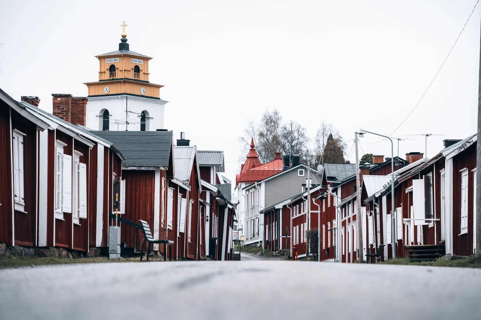
The original site of Luleå, with red wooden houses and a massive 15th century church. We only see the open-air museum from outside.
- Country
- Sweden
- Latitude
- 65.6461° N
- Longitude
- 22.0286° E
On site
Gammelstad is the original founding site of Luleå. In the 15th century a massive Catholic church was built here, which still stands today. It was meant to impress the Russians, who kept showing an interest in this area, and to mark the Swedish presence.
On 19 May 2021 we come here from Luleå, where we first look at the crane at the old harbour and the icebreakers. In Gammelstad Annina buys postcards, and we look at the open-air museum from the outside. We cannot go into the buildings, because the main tourist season has not yet begun. The street between the red wooden houses is empty, with a white and yellow painted tower behind them. A dog looks out of the window of one of the houses.
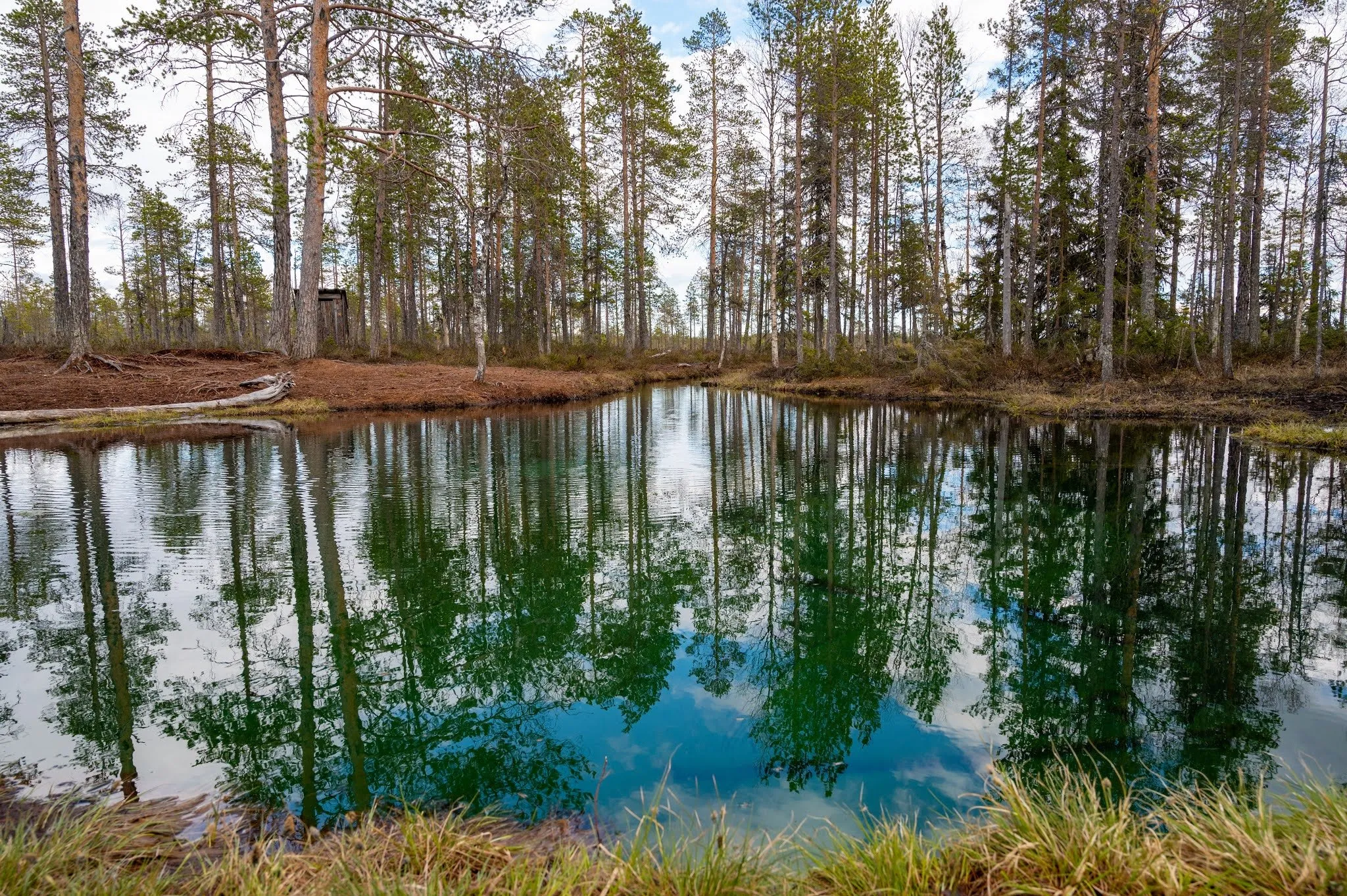
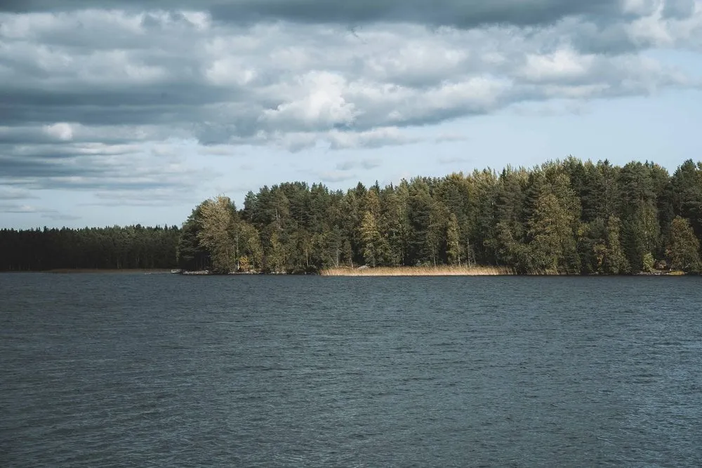
We want to have lunch by a lake and get two salads and chili cheese nuggets at MAX. The road to the lake is full of potholes and keeps getting narrower, and since it is raining by now, we eat in the car looking out at the water. We spend the night at Villa Melderstein Herrgård in Råneå.
This sends your IP address to the OpenStreetMap Foundation. You can change it any time in the .
Gammelstad, Luleå 65.6461° N 22.0286° E