65.7815° N 19.4922° E
Grodkällan på Slengmyren
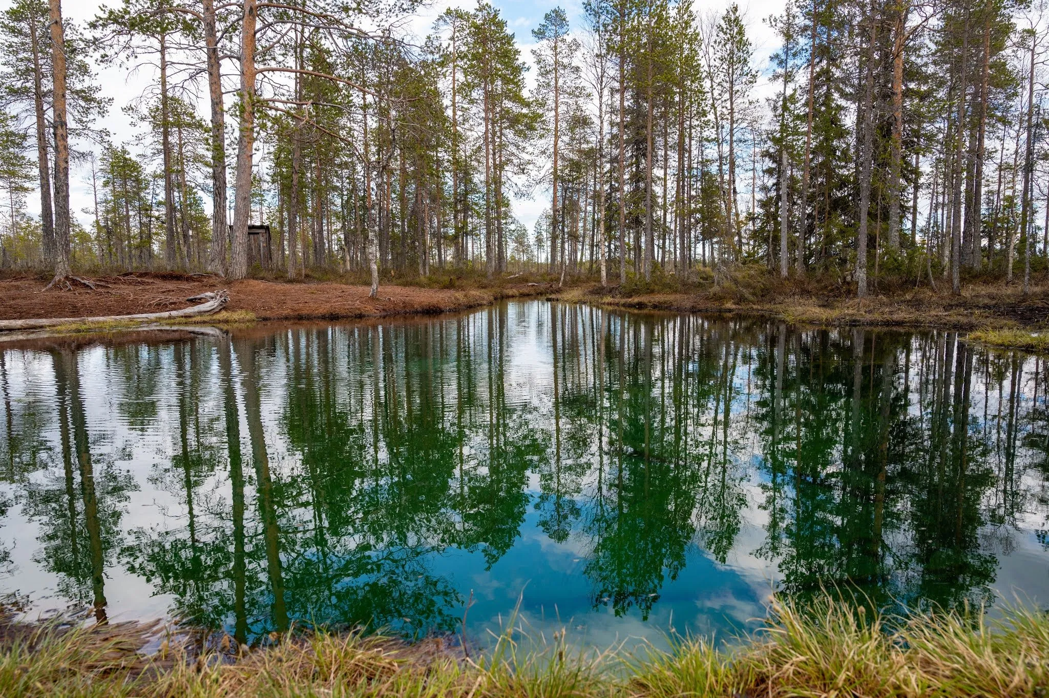
Boardwalks lead through the bog to a light blue, crystal clear spring-fed pool. On its bed, fresh water wells up from many springs.
- Country
- Sweden
- Latitude
- 65.7815° N
- Longitude
- 19.4922° E
On site
Grodkällan is a spring in the Slengmyren bog, according to Pernilla Lindblom's blog about 30 km north of Arvidsjaur. Its Sami name is Tsuobbuoája, and the Swedish name is its translation. According to Älvsby News the name probably comes from Sami who rested at the spring on their way to Arvidsjaur and saw frogs wintering there.
We stop here on 25 May 2021, on the drive from Jokkmokk to Arvidsjaur. The last part is a gravel road straight through the forest. It has just rained, and on the last 8 km, with more and more potholes and ruts, we switch on the 4WD. We park in a gravel hollow, which according to the same blog has room for about 3 to 4 cars. From there we walk on boardwalks across the bog, and on our track it is 623 m to the spring. To the left and right everything is under water, and trees grow out of the water. Luckily there are not too many mosquitoes yet.
At the end of the boardwalk lies the spring-fed lake. The water is light blue and crystal clear and reflects the pines all around. On the bottom you can see springs everywhere, from which fresh water flows out. The same blog says it looks as if the bottom were boiling, but the water itself is cold. Swimming is not allowed. At the spring it starts to rain, and we walk back before it gets muddy.
This sends your IP address to the OpenStreetMap Foundation. You can change it any time in the .
Grodkällan på Slengmyren 65.7815° N 19.4922° E