83 photo spots
Every place with coordinates, the best time of day and the post in which we were there. Tap a spot to see it on the map.
83 spots
-
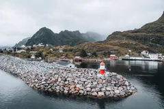
Norway · 67.8796° N 12.9840° E
This is where the Lofoten and the E10 both end. Beyond the hamlet there is only open sea, with cliffs as a viewpoint.
-
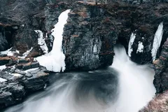
Sweden · 68.3554° N 18.7667° E
One of the shorter hikes in Abisko National Park takes us to a roaring waterfall between dark rock walls. At the end of May there is still ice there.
-
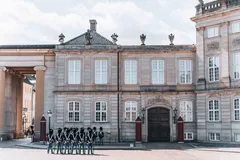
Denmark · 55.6840° N 12.5933° E
At Christian VII's Palace we arrive just in time for the changing of the guard. The ceremony draws a lot of spectators.
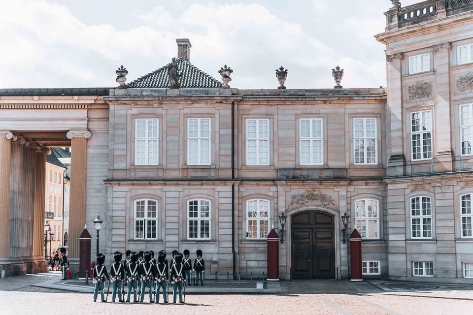
- Best time
- For the changing of the guard
- Coordinates
- 55.6840° N 12.5933° E
-
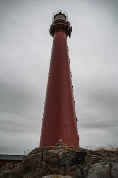
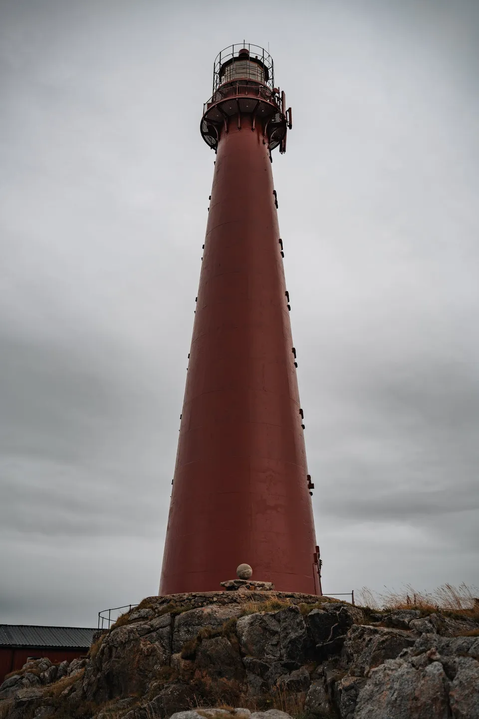
Norway · 69.3238° N 16.1157° E
The 40 metre red cast iron lighthouse has stood at the northern tip of Andøya since 1859. The whale museum and the whale safari harbour are right next to it.
- Best time
- All year · whale museum right next door
- Coordinates
- 69.3238° N 16.1157° E
-

Hungary · 47.5008° N 19.0539° E
At sunset we ride up on the Ferris wheel and see the basilica above rooftops lit orange. Afterwards we eat on the square beside it.
-

Sweden · 59.3608° N 11.8383° E
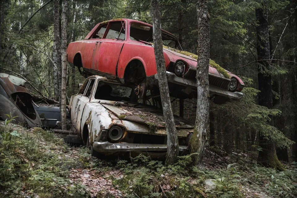
An abandoned car cemetery in the forest near the Norwegian border. An estimated more than 1000 wrecks from the 1950s to the 1970s, some piled on top of each other.
-
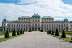
Austria · 48.1934° N 16.3805° E
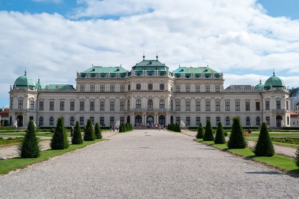
The palace was built for Prince Eugene in the 18th century. The garden with its water cascade and twelve fountains separates the upper and lower parts.
-
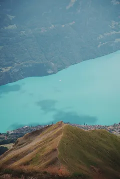
Switzerland · 46.7871° N 8.0466° E
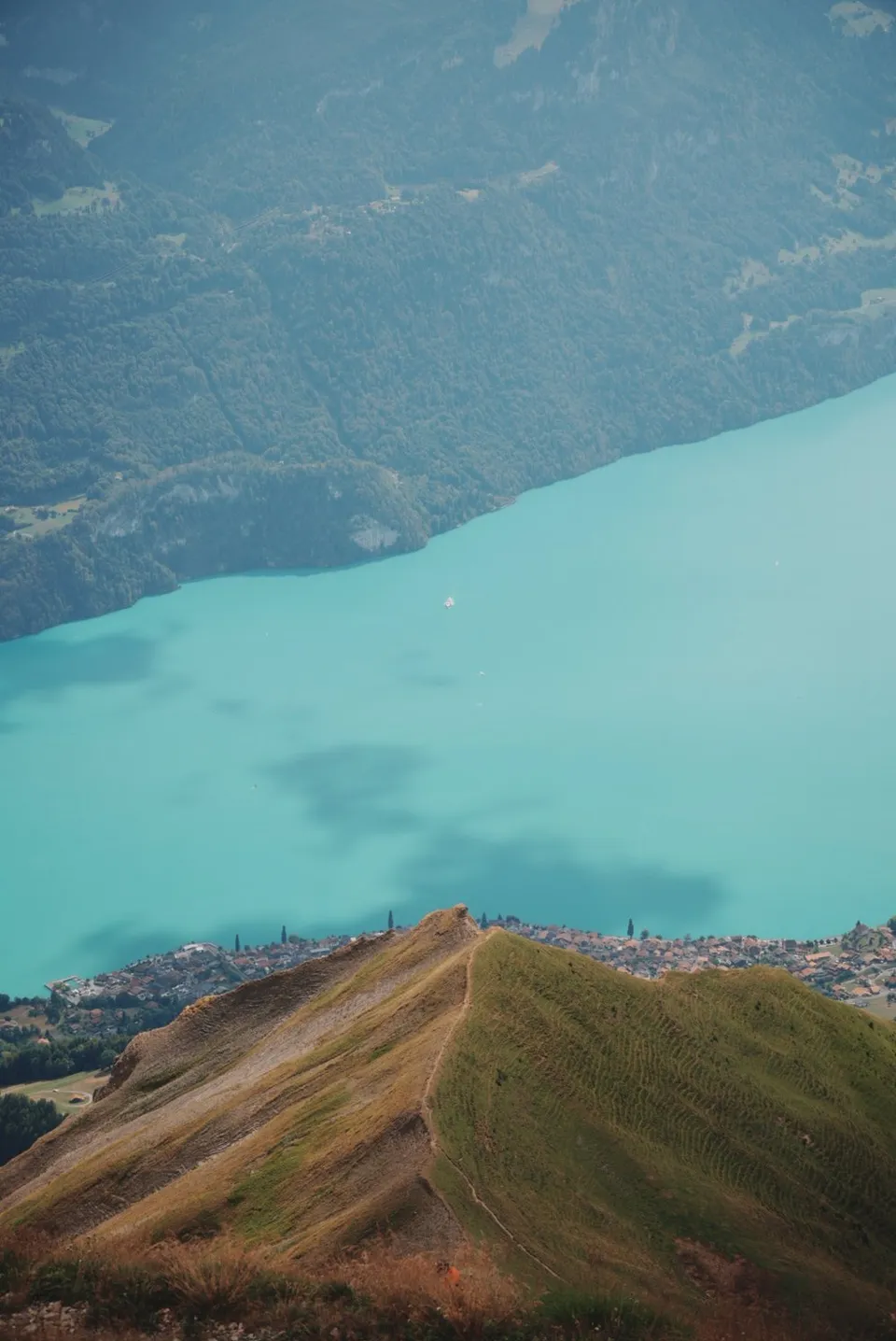
From the ridge the view drops far down onto Lake Brienz, lying in an almost unreal turquoise. On foot from Sörenberg or by gondola, with a café at the top.
- Best time
- Late morning, before the clouds build · June to October
- Coordinates
- 46.7871° N 8.0466° E
-
-
Indonesia · 8.9142° S 116.3191° E
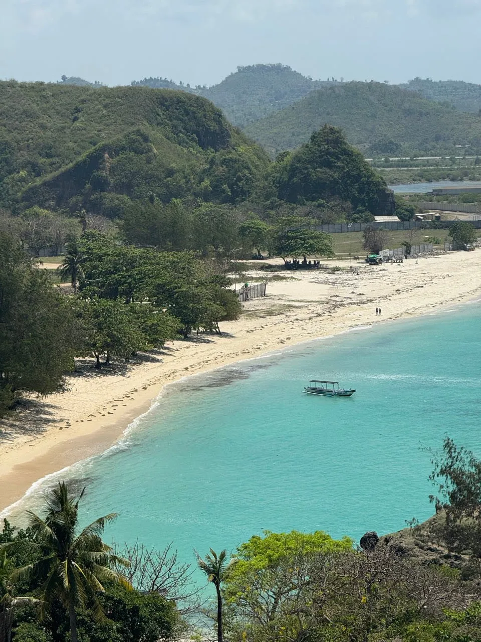
A grassy hill on the coast near Kuta Lombok, looking out over empty beaches and turquoise water. A few long-tailed macaques enjoy the spot too.
-
Norway · 67.9785° N 12.9640° E
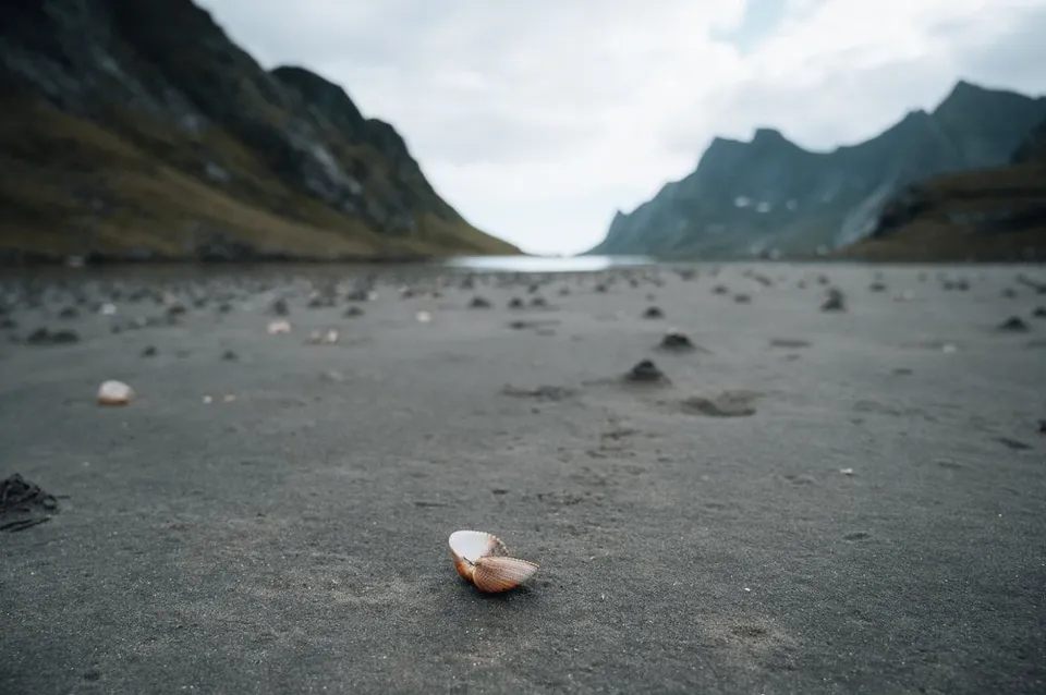
A vast, wild sandy beach at the end of the Reinefjord. The ferry from Reine plus a short walk delivers near-total solitude.
- Best time
- Midnight sun · June to July
- Coordinates
- 67.9785° N 12.9640° E
-
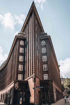
Germany · 53.5481° N 10.0017° E
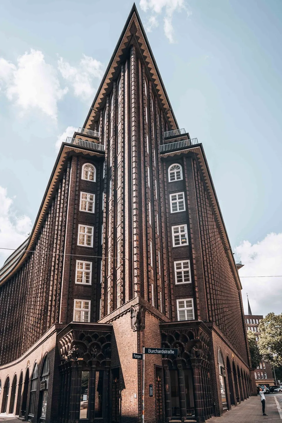
Named after its builder, who lived in Chile for three decades, and the first building of its style in Hamburg. Its corner is pointed and yet rounded.
-
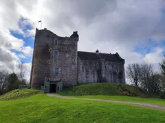
Scotland · 56.1852° N 4.0503° W
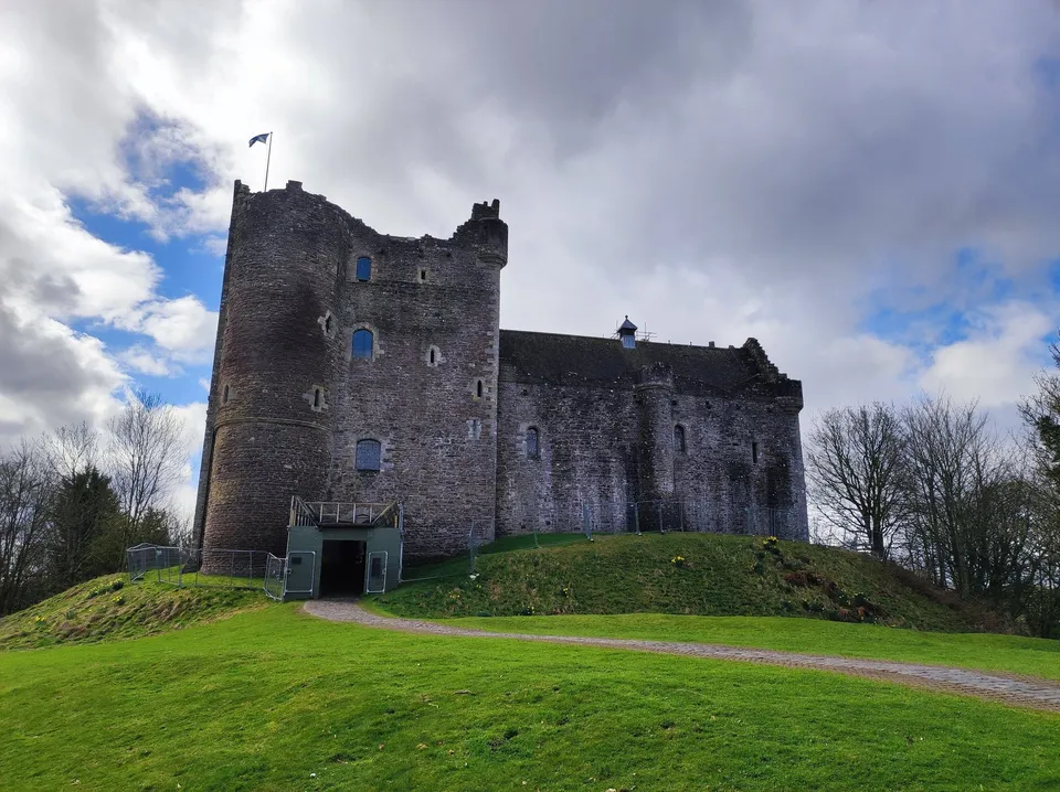
The castle is known from Game of Thrones and Monty Python. Here we picture ourselves back in some of the film scenes shot there.
-
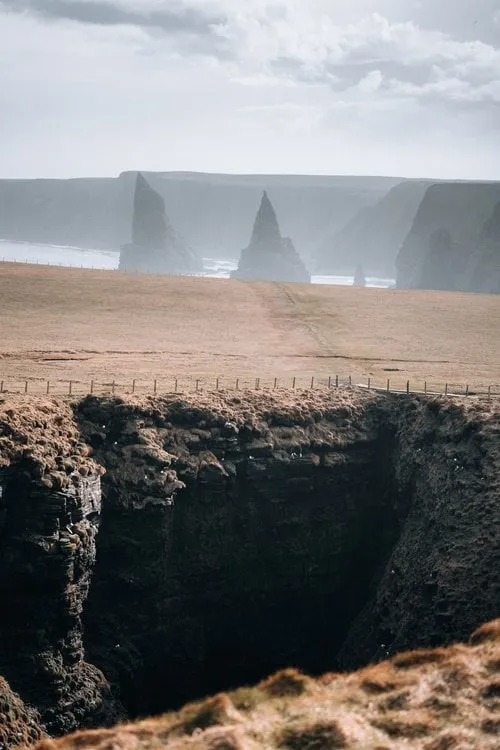
Scotland · 58.6320° N 3.0300° W
Jagged sea stacks in the surf at Scotland's northeastern tip. The short clifftop path from the lighthouse keeps opening new angles.
- Best time
- Afternoon · seabirds in early summer
- Coordinates
- 58.6320° N 3.0300° W
-
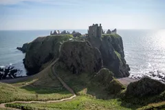
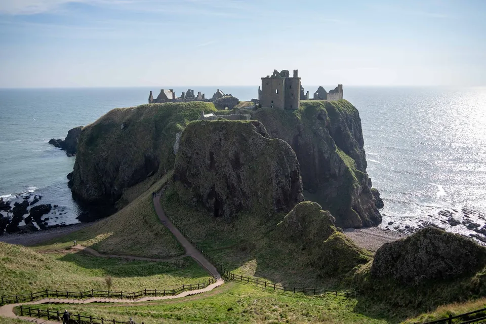
Scotland · 56.9459° N 2.1972° W
A castle ruin on a headland above the North Sea, sheer cliffs all around. Best seen from the meadow to the south.
- Best time
- Golden hour · drone
- Coordinates
- 56.9459° N 2.1972° W
-
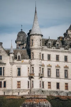
Scotland · 57.9822° N 3.9453° W
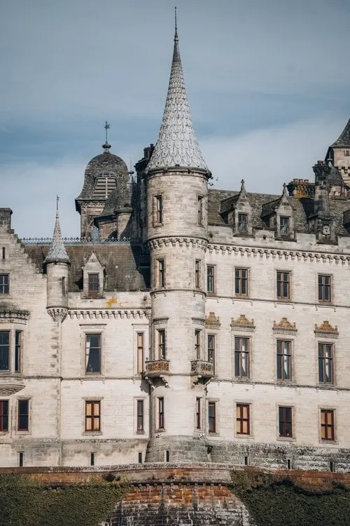
A fairytale castle with pointed turrets on the east coast, surrounded by formal gardens. A subject even from outside.
-
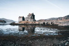
Scotland · 57.2739° N 5.5164° W
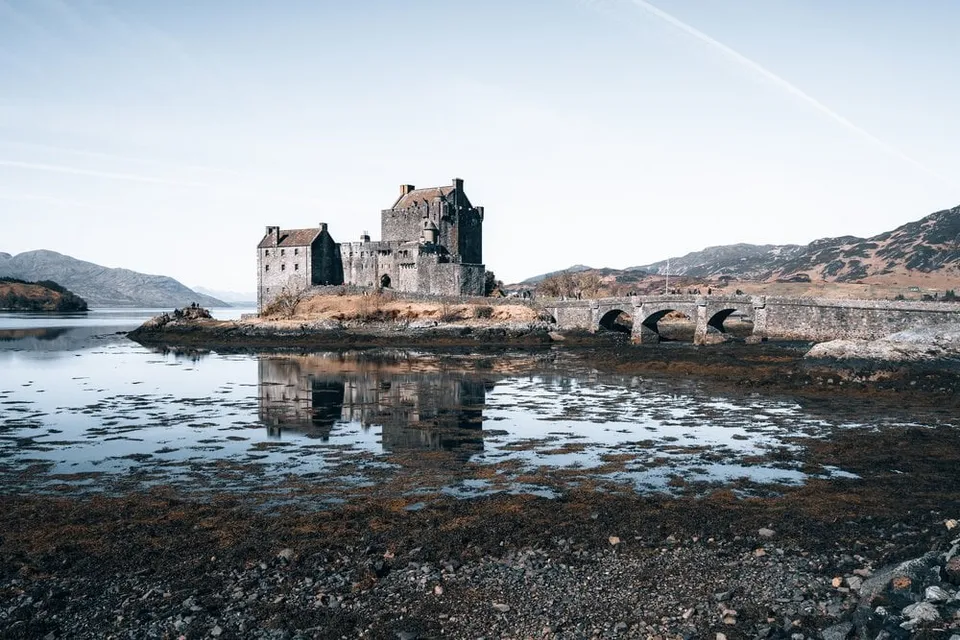
Scotland's most photographed castle on its little tidal island. At low tide the castle and stone bridge reflect in the wet flats.
- Best time
- Blue hour · low tide
- Coordinates
- 57.2739° N 5.5164° W
-
Switzerland · 46.7906° N 8.0595° E
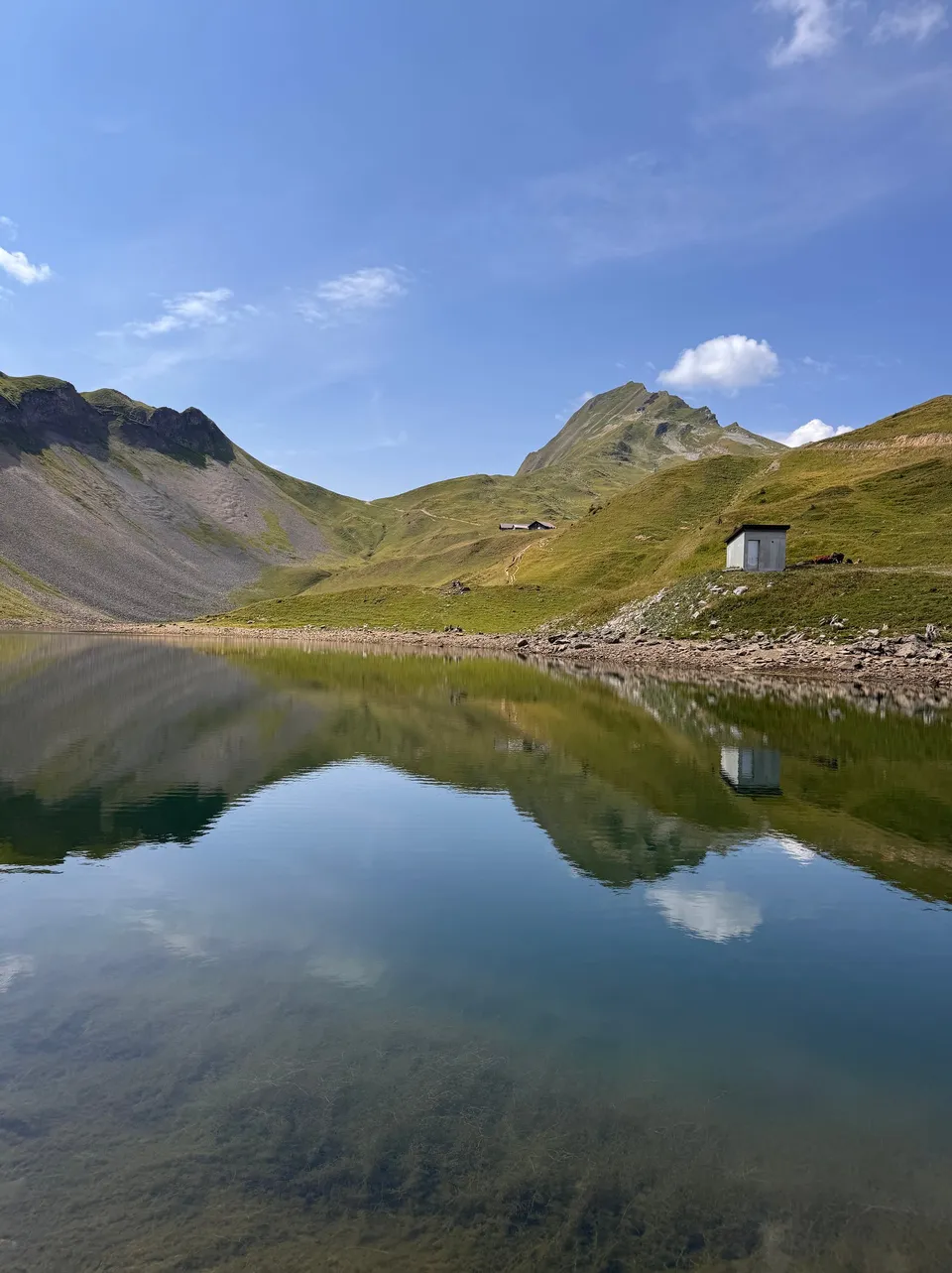
A mountain lake in a bowl below the Brienzer Rothorn, two basins meeting at a narrow spit. In the morning it lies still enough to mirror the whole cirque. You can swim in it, the water is cold.
- Best time
- Late morning · July to September
- Coordinates
- 46.7906° N 8.0595° E
-
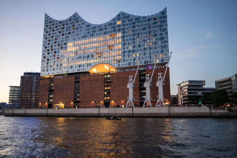
Germany · 53.5413° N 9.9841° E
The glass wave on top of the old warehouse. It works best from the water, when the facade catches the last of the daylight.
- Best time
- Blue hour · all year
- Coordinates
- 53.5413° N 9.9841° E
-
Hungary · 47.5022° N 19.0347° E
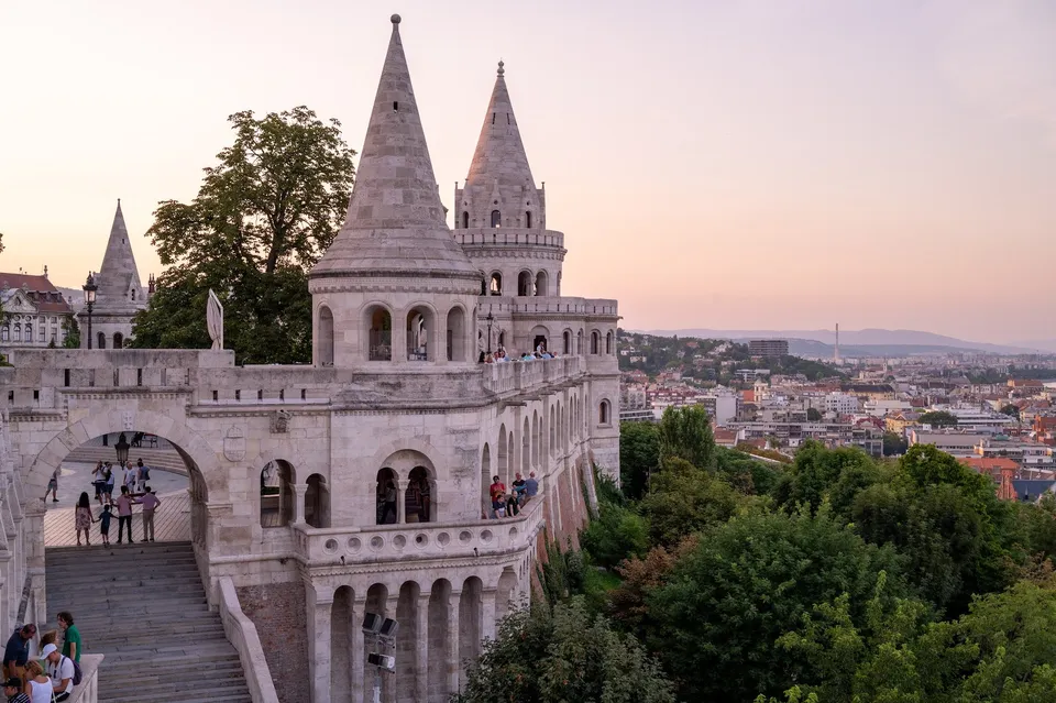
From the arcades above Buda the view takes in the whole Pest side. At sunrise the sun stands just above Parliament, and it is still quiet.
-
Norway · 68.0803° N 13.2003° E
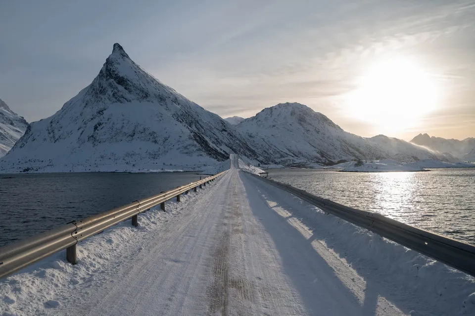
Two sweeping bridges link the small islands at Fredvang. In winter, snowsnakes drift across the asphalt.
-
Sweden · 63.8250° N 20.2492° E
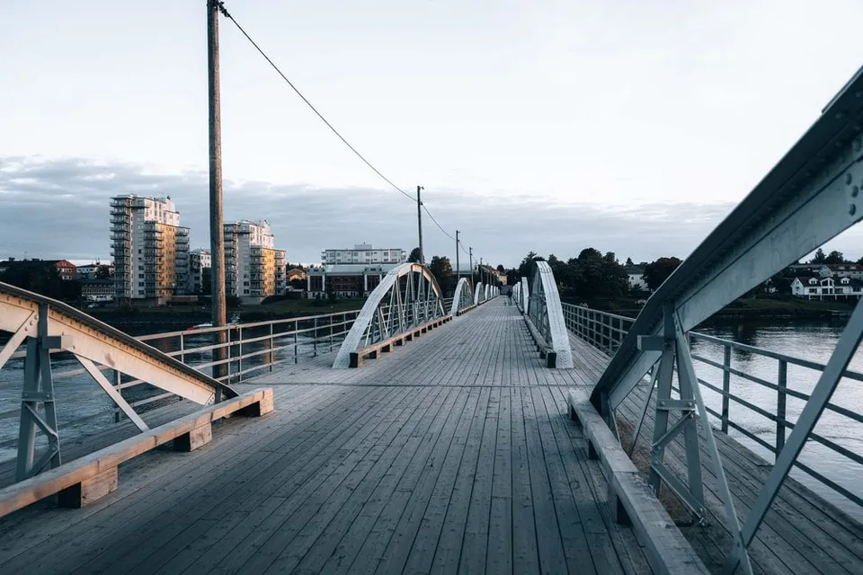
The old steel arch bridge across the Ume river. From its wooden deck you catch the river panorama and skyline in soft evening light.
- Best time
- Evening light · summer
- Coordinates
- 63.8250° N 20.2492° E
-
Sweden · 59.3251° N 18.0711° E
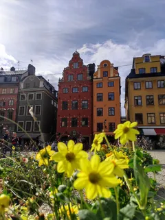
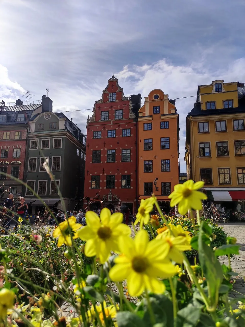
Stockholm's oldest square with its iconic red and yellow gabled houses, most beautiful early in the morning before the old town wakes up.
- Best time
- Early morning · all year
- Coordinates
- 59.3251° N 18.0711° E
-
Sweden · 65.6461° N 22.0286° E
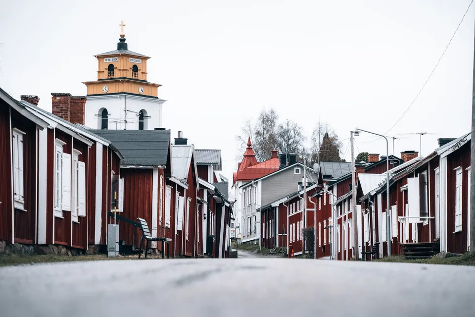
The original site of Luleå, with red wooden houses and a massive 15th century church. We only see the open-air museum from outside.
-
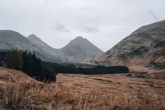
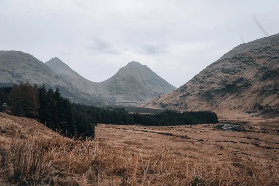
Scotland · 56.6296° N 4.9214° W
The lonely glen from "Skyfall". A single-track road winds 20 km between mountain cones and the river down to Loch Etive.
- Best time
- Evening light · autumn colours in October
- Coordinates
- 56.6296° N 4.9214° W
-
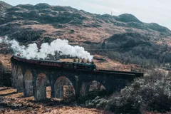
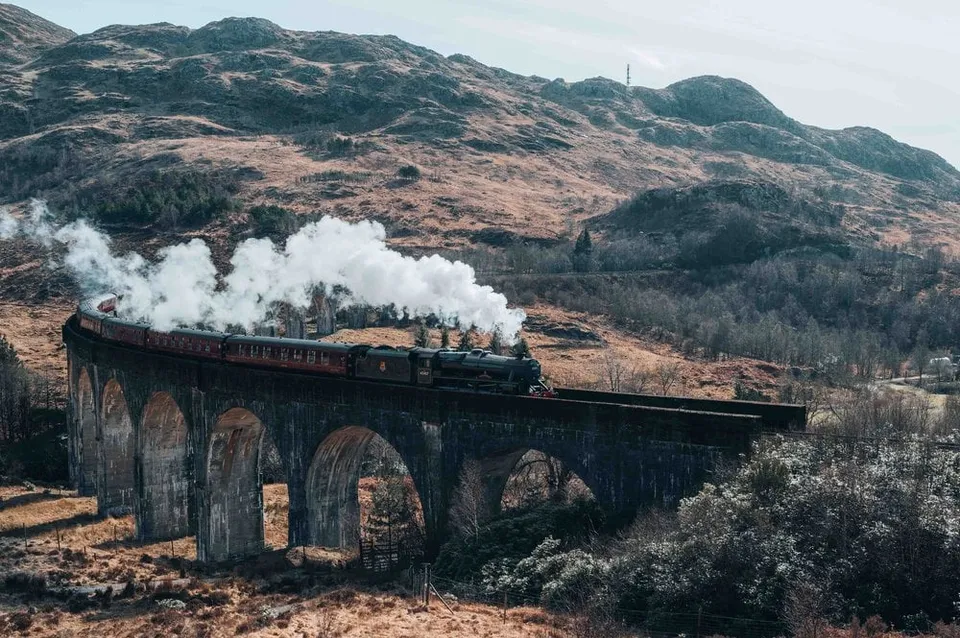
Scotland · 56.8763° N 5.4312° W
The famous railway viaduct from the Harry Potter films. From the viewpoint hill the Jacobite steam train rolls straight through your frame.
- Best time
- Late morning for the steam train · May to October
- Coordinates
- 56.8763° N 5.4312° W
-
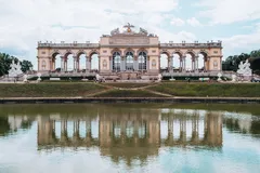
Austria · 48.1781° N 16.3083° E
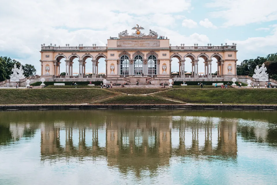
We walk through the huge palace gardens of Schönbrunn up to the Gloriette. The imperial family dined together in the hall with the large windows.
-
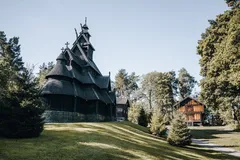
Norway · 59.9080° N 10.6833° E
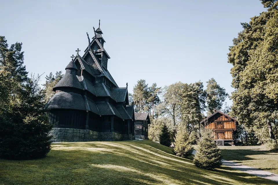
The 13th century stave church stands in the Norsk Folkemuseum, a 10 minute walk from the ferry pier. It has been moved several times.
-
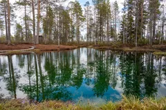
Sweden · 65.7815° N 19.4922° E
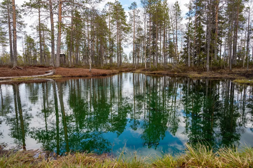
Boardwalks lead through the bog to a light blue, crystal clear spring-fed pool. On its bed, fresh water wells up from many springs.
-
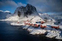
Norway · 67.9458° N 13.1330° E
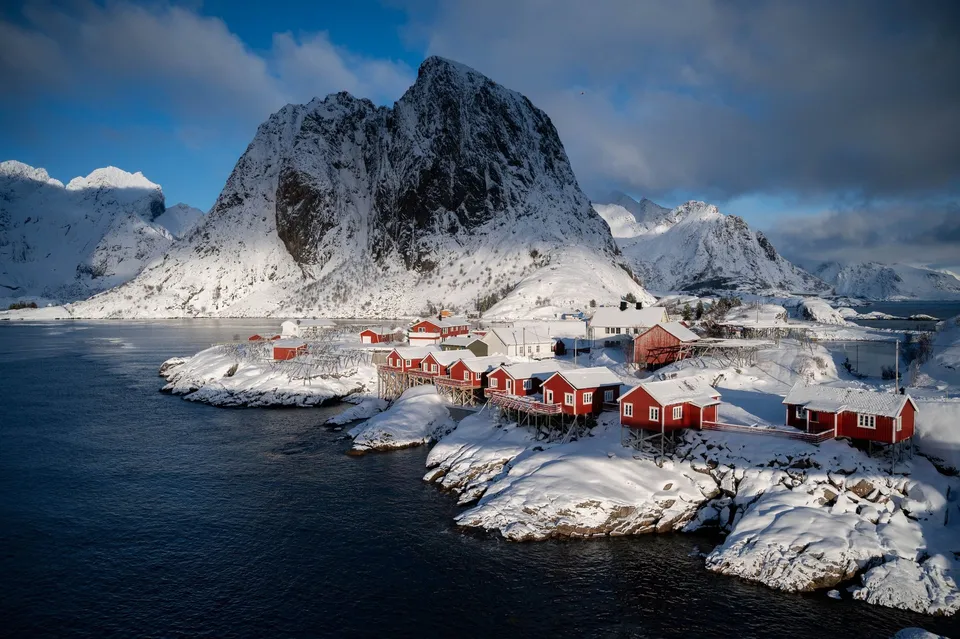
The Lofoten photo hotspot: Red rorbuer on rocks below Festhæltinden. Shot from the bridge on the E10, right at the roadside.
- Best time
- Blue hour · northern lights September to March
- Coordinates
- 67.9458° N 13.1330° E
-
Sweden · 63.2481° N 12.4414° E
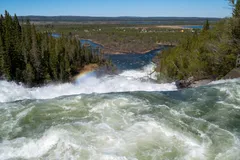
A suspension bridge crosses the raging river and sways noticeably in the middle. A path beyond it takes us to a viewpoint over the upper part of the falls.
-
Sweden · 61.2684° N 14.7499° E
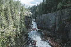
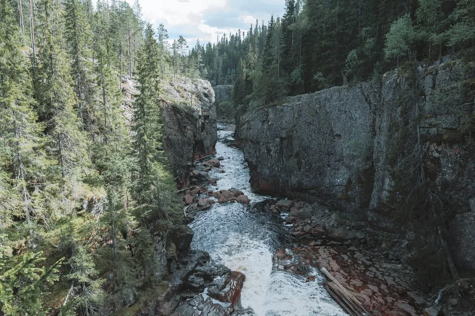
After 11 km of gravel road, a path leads down through birch forest into a reddish-brown gorge with a powerful waterfall. A suspension bridge crosses it.
-
Norway · 68.1480° N 14.2007° E
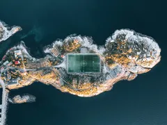
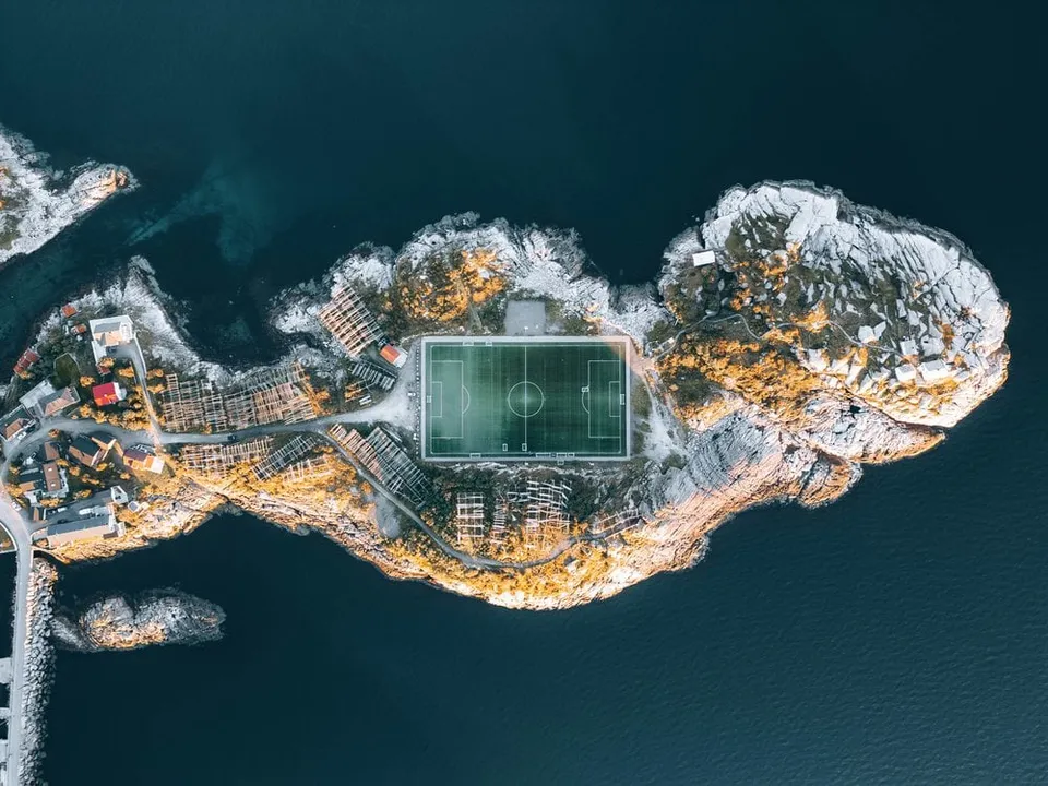
Norway's most famous football pitch, wedged between rock and sea. Only really readable from the air.
-
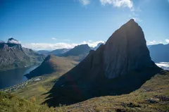
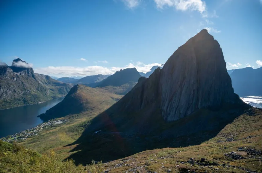
Norway · 69.5145° N 17.5851° E
The view from Hesten across to Segla's sheer face is THE shot on Senja, about a 1.5-hour climb from Fjordgård.
- Best time
- Evening sun · June to September
- Coordinates
- 69.5145° N 17.5851° E
-
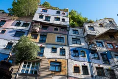
Austria · 48.2072° N 16.3942° E
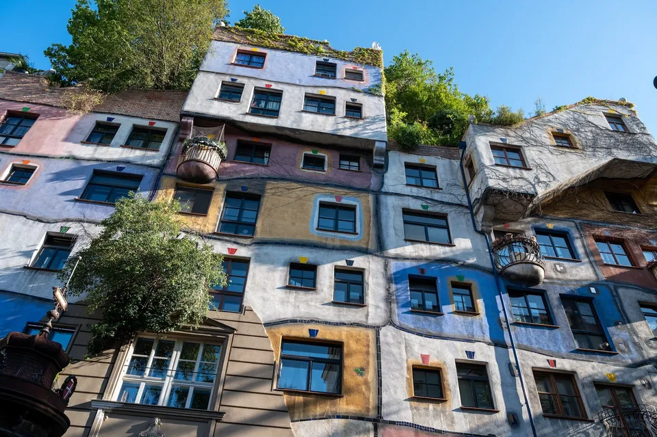
A colourful facade with irregularly placed windows, painted panels and trees on the roof. We walk here from the city centre.
-
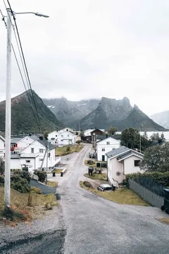
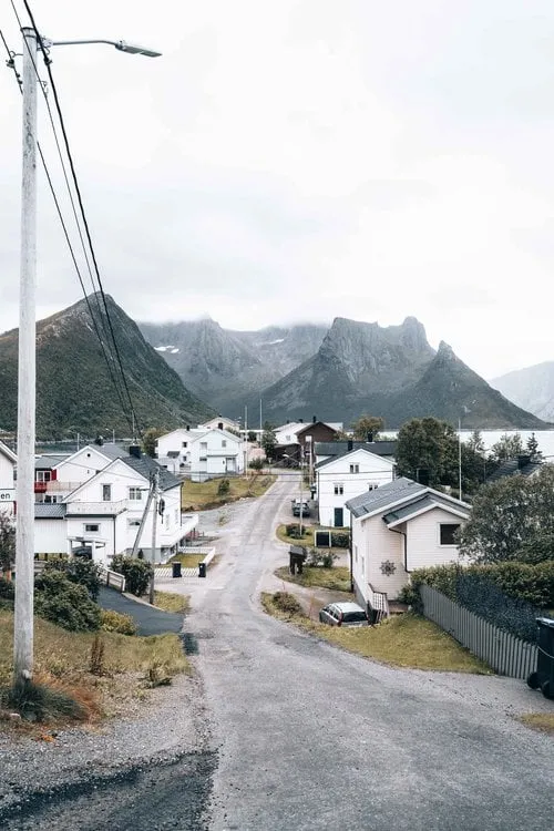
Norway · 69.5422° N 17.6625° E
An entire fishing village crammed onto a tiny island in the Øyfjord. Behind it, Senja's mountains plunge straight into the sea.
- Best time
- Morning light · all year
- Coordinates
- 69.5422° N 17.6625° E
-
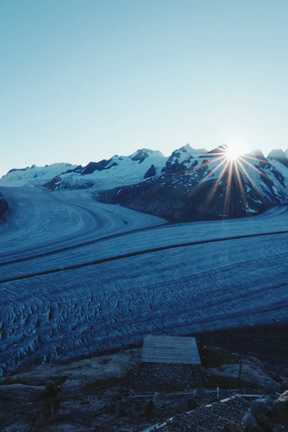
Switzerland · 46.5005° N 8.0533° E
Where four streams of firn merge into the Great Aletsch Glacier. The Konkordia hut clings 550 steps above the ice, with a view all the way down the glacier.
- Best time
- Sunrise · July to September
- Coordinates
- 46.5005° N 8.0533° E
-
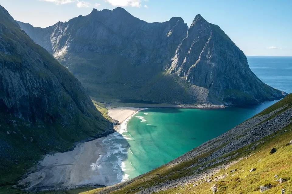
Norway · 68.0773° N 13.0964° E
A turquoise bay walled in by steep cliffs, reachable only on foot. The finest view opens up on the climb towards Ryten.
- Best time
- Afternoon · June to September
- Coordinates
- 68.0773° N 13.0964° E
-
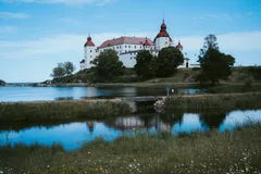
Sweden · 58.6750° N 13.2200° E
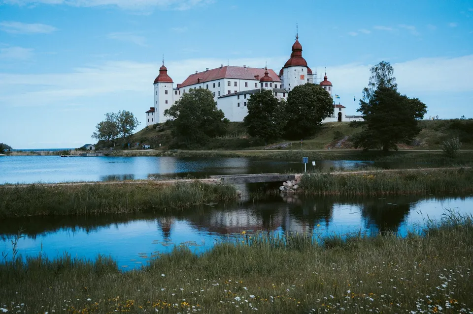
A 17th century baroque castle on Lake Vänern, with flowering meadows and a harbour all around. We picnic at the end of a jetty looking at the castle.
-
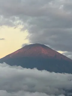
Indonesia · 8.3720° S 115.6371° E
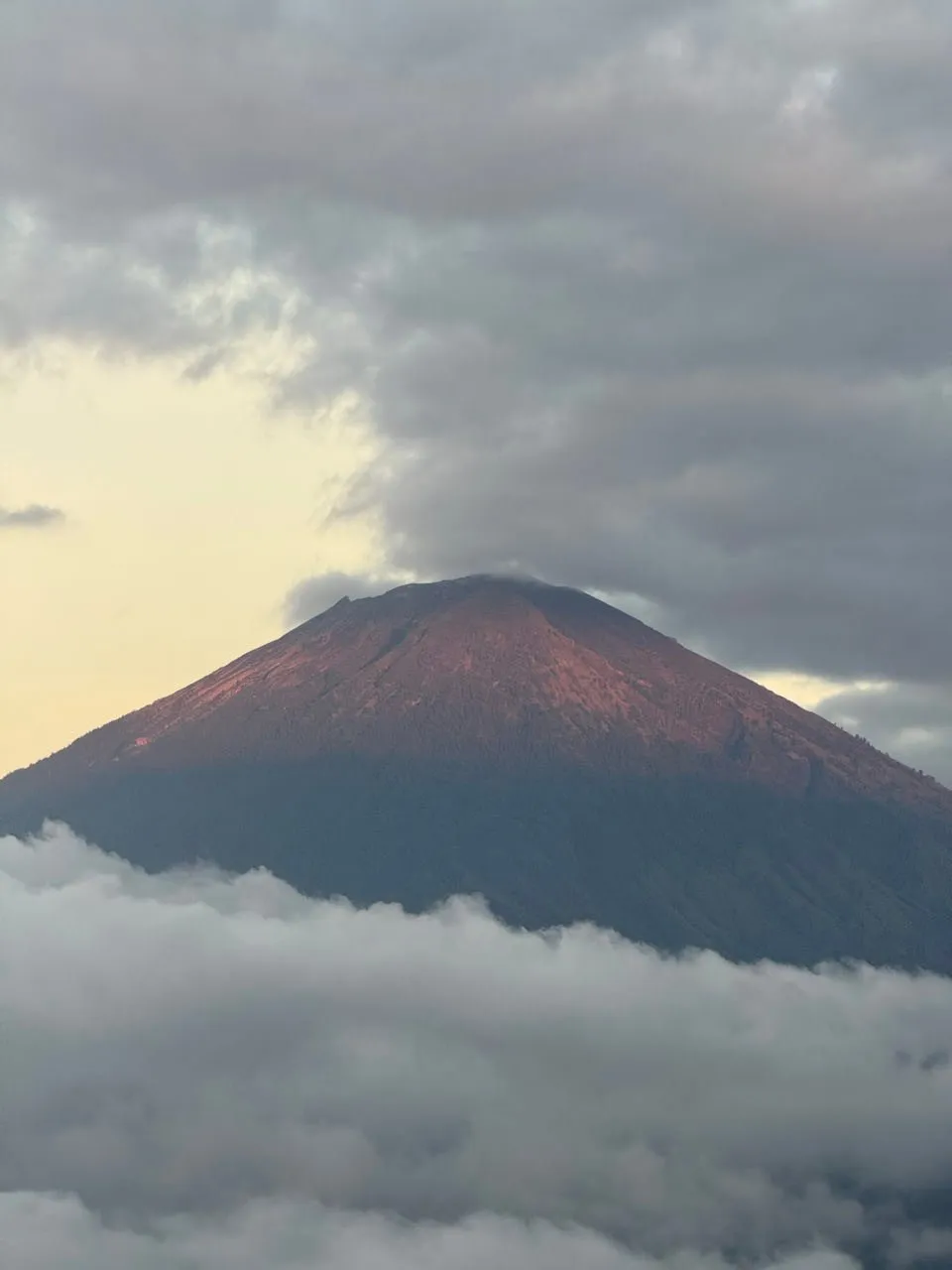
A viewpoint looking out at Mount Agung, Bali's highest mountain and an active volcano. At 6 am the first light turns the flank of the cone reddish.
-
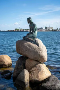
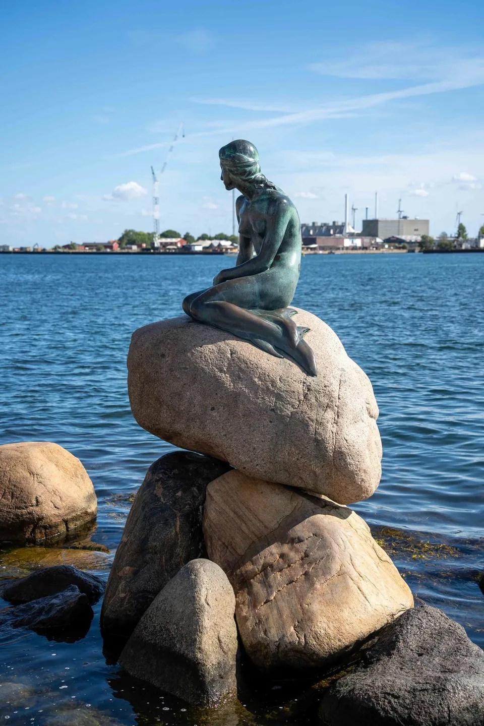
Denmark · 55.6929° N 12.5993° E
The Little Mermaid on the waterfront by the Kastellet. Small, unassuming and still permanently ringed by cameras.
- Best time
- Early morning, otherwise crowds
- Coordinates
- 55.6929° N 12.5993° E
-
Norway · 68.2037° N 13.5202° E
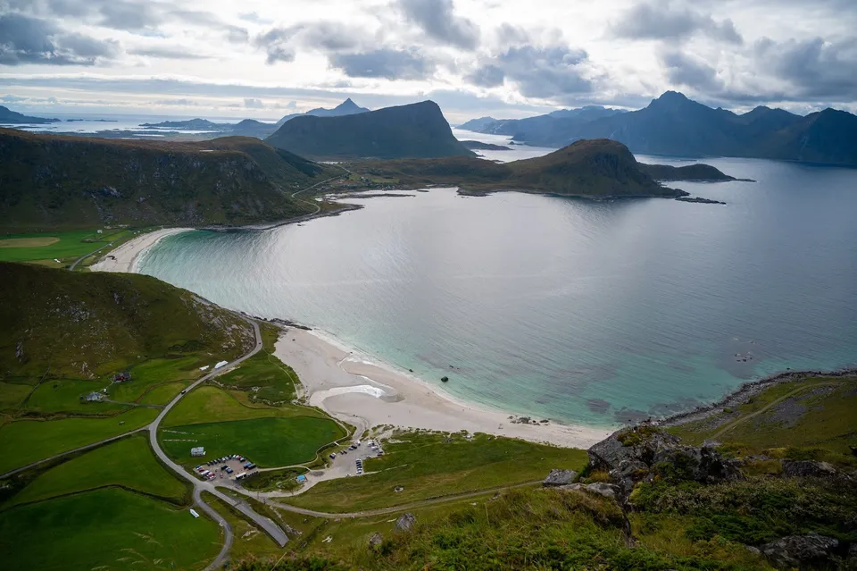
A steep climb with some scrambling from the free car park at Hauklandstranda. At the top we see far across the sea, mountains and several beaches.
-
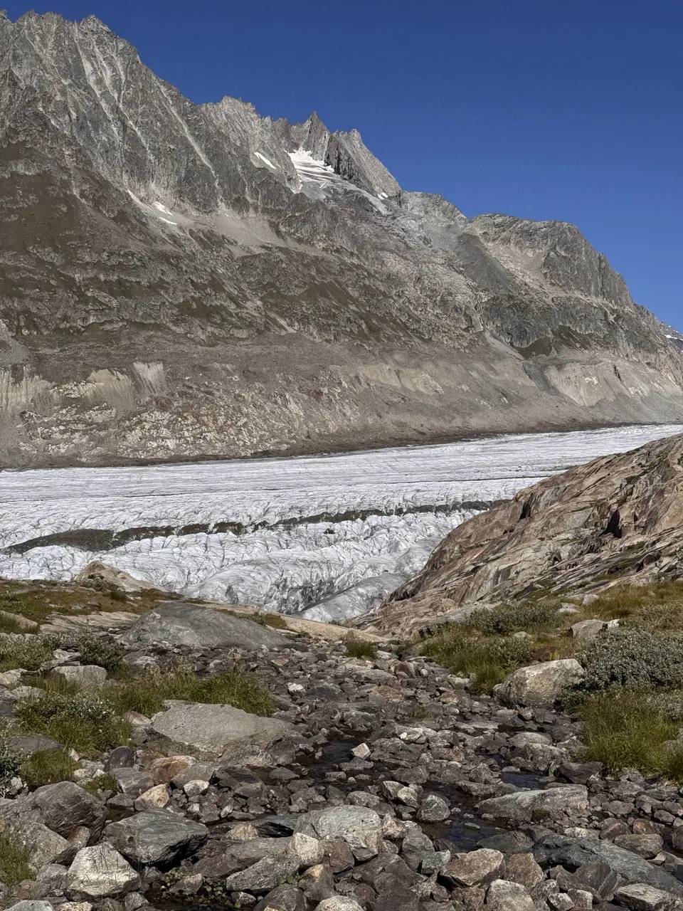
Switzerland · 46.4408° N 8.0920° E
On the eastern edge of the glacier, where the ice meets the first grasses and meltwater streams. End point of the glacier crossing towards Fiescheralp.
- Best time
- Late morning · July to September
- Coordinates
- 46.4408° N 8.0920° E
-
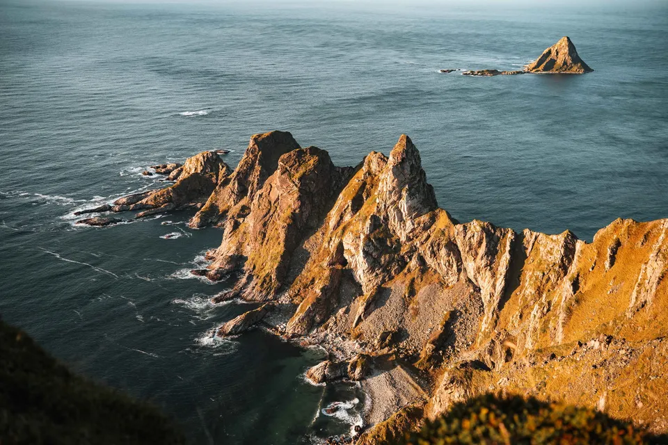
Norway · 69.2425° N 15.8652° E
From the summit of Måtind you look down on jagged rock ridges, the beach of Bleik and the triangular bird island of Bleiksøya. About 450 metres of ascent, pathless in places.
- Best time
- Evenings in clear weather, for the sunset
- Coordinates
- 69.2425° N 15.8652° E
-
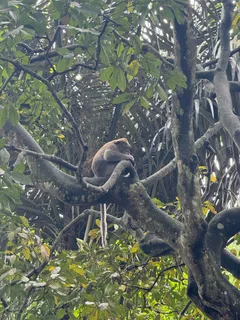
Indonesia · 8.5188° S 115.2584° E
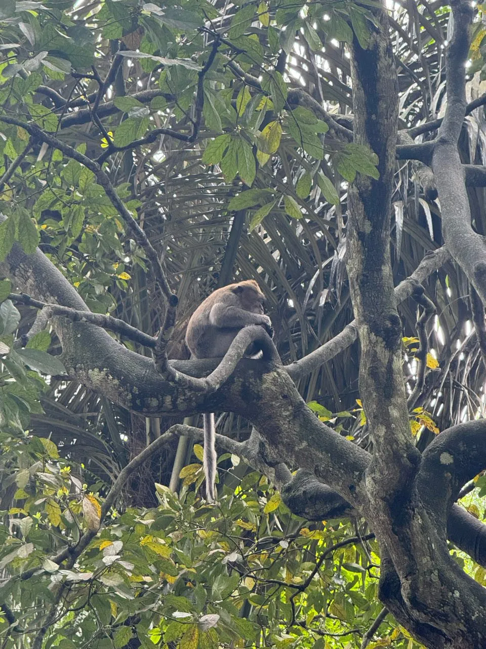
A stretch of forest with Hindu temples in Ubud, home to long-tailed macaques. One sits in the fork of a large tree with its tail hanging down.
-
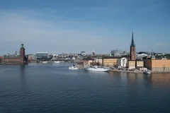
Sweden · 59.3207° N 18.0603° E
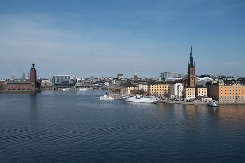
From the path on the western edge of Södermalm we have a beautiful view of the city centre, with Stadshuset and its tower on the left.
-
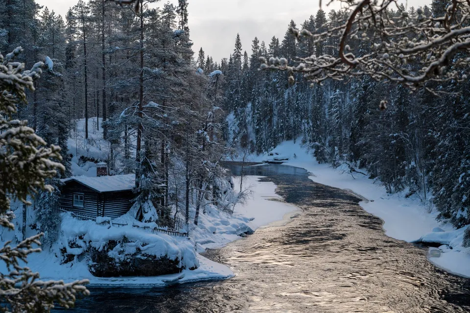
Finland · 66.2606° N 29.4169° E
An old mill and suspension bridge above the roaring Kitkajoki rapids. In winter, deep-snowed forest frames the open channel.
- Best time
- Winter mornings · autumn colours in September
- Coordinates
- 66.2606° N 29.4169° E
-
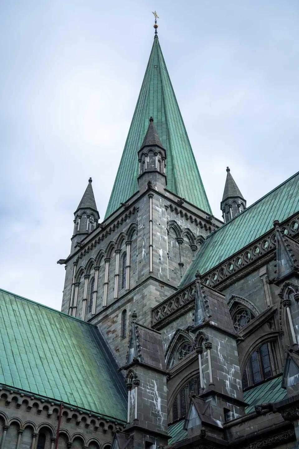
Norway · 63.4269° N 10.3969° E
The impressive 11th-century stone cathedral. Its gothic spires and green copper roofs look especially monumental under overcast skies.
- Best time
- Daytime · overcast skies
- Coordinates
- 63.4269° N 10.3969° E
-
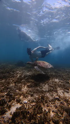
Indonesia · 8.4342° S 116.0451° E
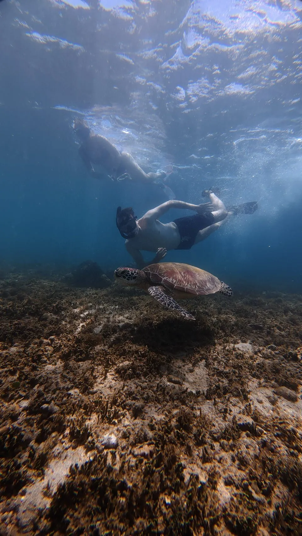
At the turtle sanctuary we see baby turtles. Afterwards we snorkel in the sea and meet six sea turtles under water.
-
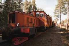
Sweden · 65.5966° N 22.0683° E
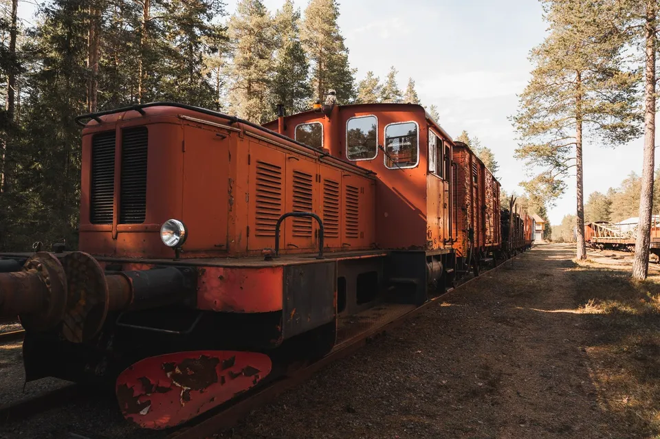
Retired trains stand right in the forest here, and access to them is free. For us the old, rusty carriages are a perfect photo subject.
-
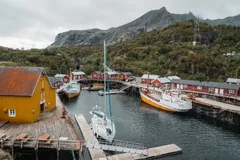
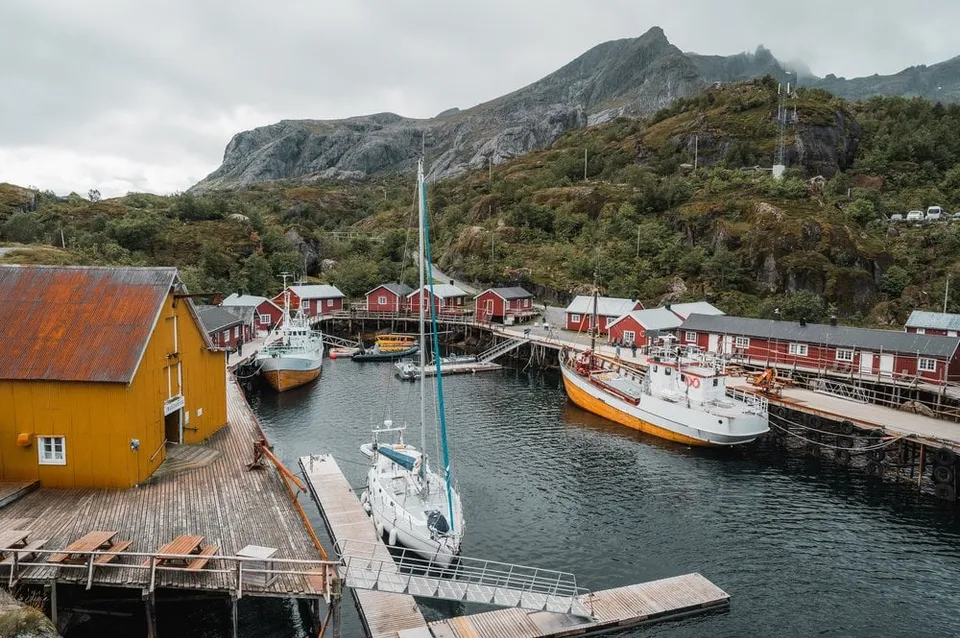
Norway · 68.0353° N 13.3478° E
One of Norway's oldest fishing villages, colourful houses tight against the water. In a storm the sea foams into the harbour itself.
- Best time
- All year · café in the village
- Coordinates
- 68.0353° N 13.3478° E
-
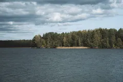
Sweden · 63.8189° N 20.3336° E
A forest lake right on the edge of Umeå, with a path around it for walking, running and cycling.
-
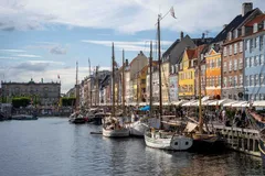
Denmark · 55.6797° N 12.5904° E
The colourful row of houses along the old harbour canal, tall ships moored in front. Copenhagen's classic, best shot from across the canal.
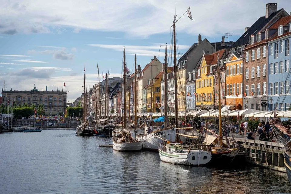
- Best time
- Late afternoon · all year
- Coordinates
- 55.6797° N 12.5904° E
-
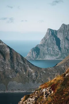
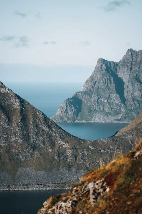
Norway · 68.1611° N 13.5018° E
A short, punchy climb with a big payoff. From the ridge, peaks, fjords and the Nappstraumen strait layer all the way to the horizon.
- Best time
- Late afternoon · May to September
- Coordinates
- 68.1611° N 13.5018° E
-
Scotland · 57.5066° N 6.1735° W
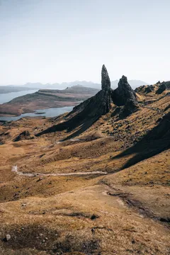
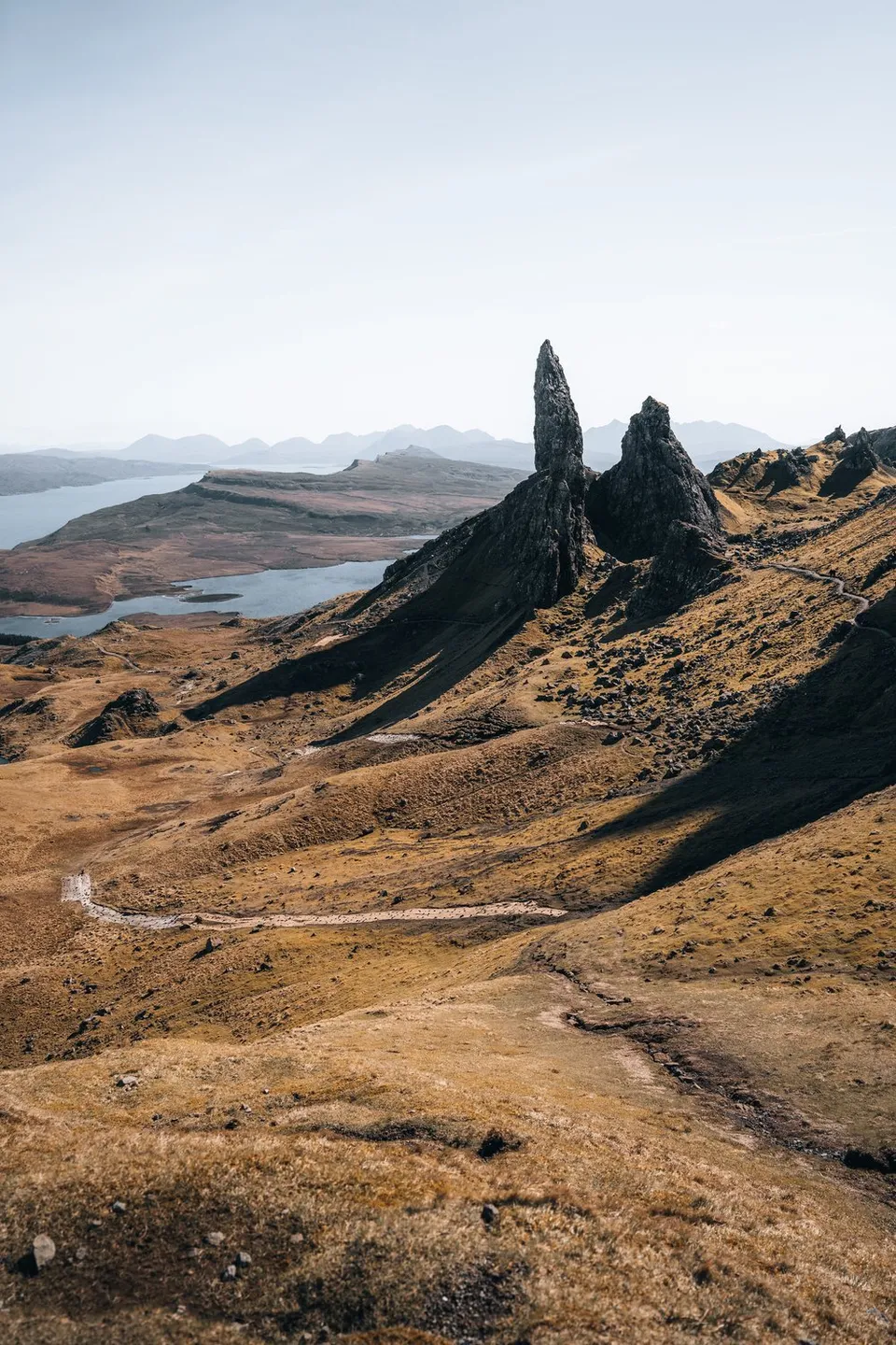
Skye's iconic rock pinnacle above the east coast. After roughly 45 minutes of climbing, the view opens over pinnacles, lochs and the sea.
- Best time
- Sunrise · all year
- Coordinates
- 57.5066° N 6.1735° W
-
Scotland · 58.4781° N 5.0898° W
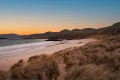
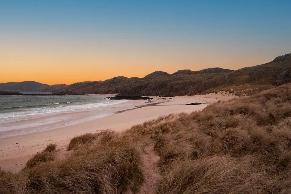
White sand and bright blue, clear water. On our visit it is windy and rainy, so we watch the wild waves instead.
-
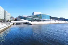
Norway · 59.9069° N 10.7536° E
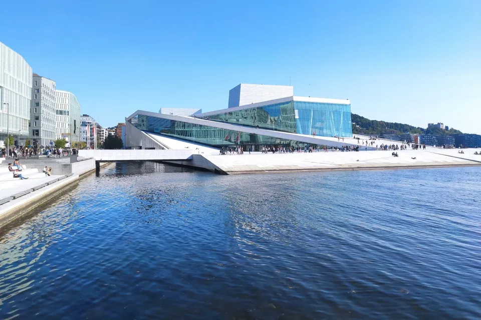
The futuristic opera house on the waterfront. Some walls are made entirely of glass, and we walk on the sloping roofs with a view of the sea and the harbours.
-
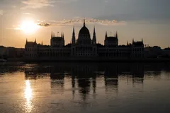
Hungary · 47.5068° N 19.0456° E
Hungary's largest building, of solid stone right on the Danube. From the opposite bank we see it mirrored in the still river at dawn.
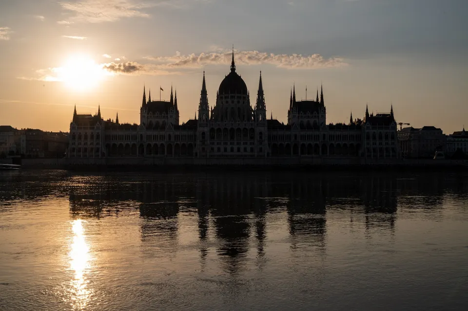
- Best time
- Sunrise · lit up at night
- Coordinates
- 47.5068° N 19.0456° E
-
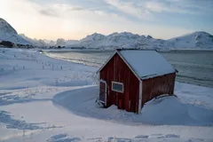
Norway · 68.0917° N 13.2408° E
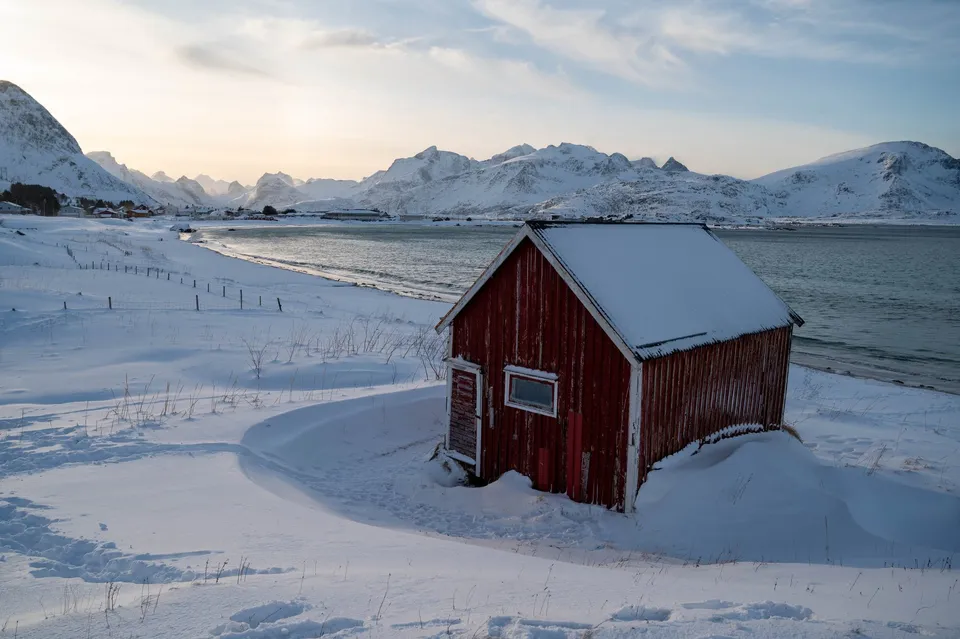
White sand right next to snow, with the little red hut at the edge. In winter the frost forms bizarre patterns in the sand.
- Best time
- Winter · midday light
- Coordinates
- 68.0917° N 13.2408° E
-
Norway · 67.9278° N 13.0714° E
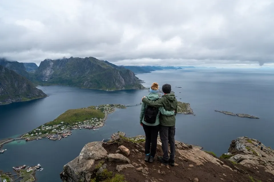
The most famous view in the Lofoten, reached via the sherpa steps (about 1 hour up). Reine, fjords and peaks in a single frame.
- Best time
- Early morning · June to September
- Coordinates
- 67.9278° N 13.0714° E
-
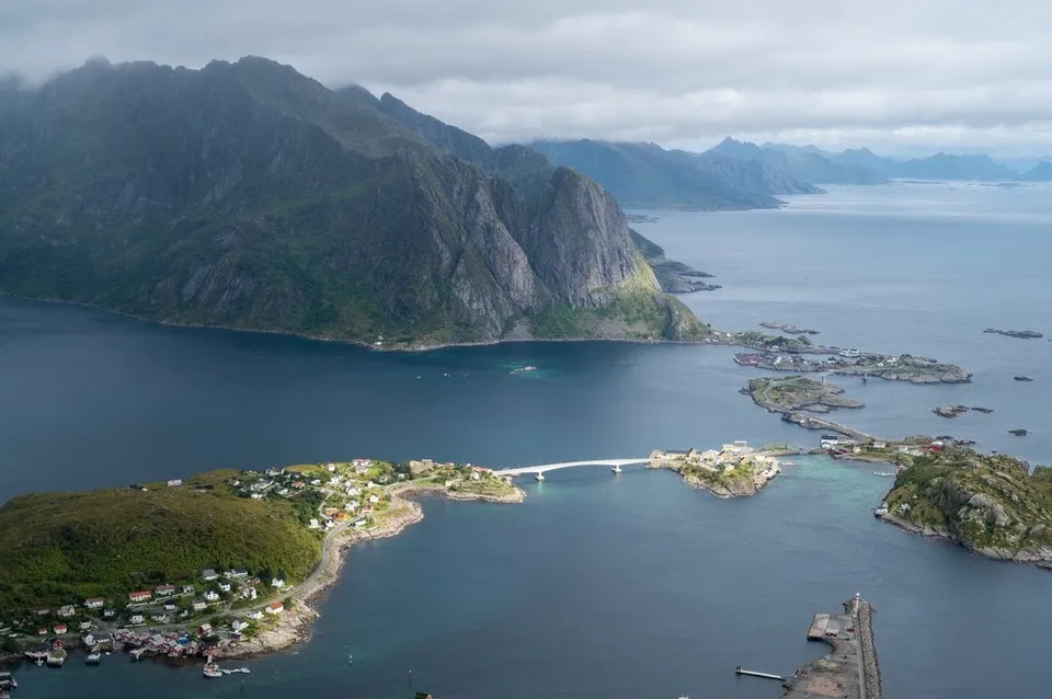
Norway · 67.9261° N 13.0753° E
A stone staircase built by Tibetan sherpas, 448 metres of ascent, then the best-known view in the Lofoten over Reine and the fjords.
- Best time
- Morning, before the crowds
- Coordinates
- 67.9261° N 13.0753° E
-
Finland · 66.2280° N 28.5060° E
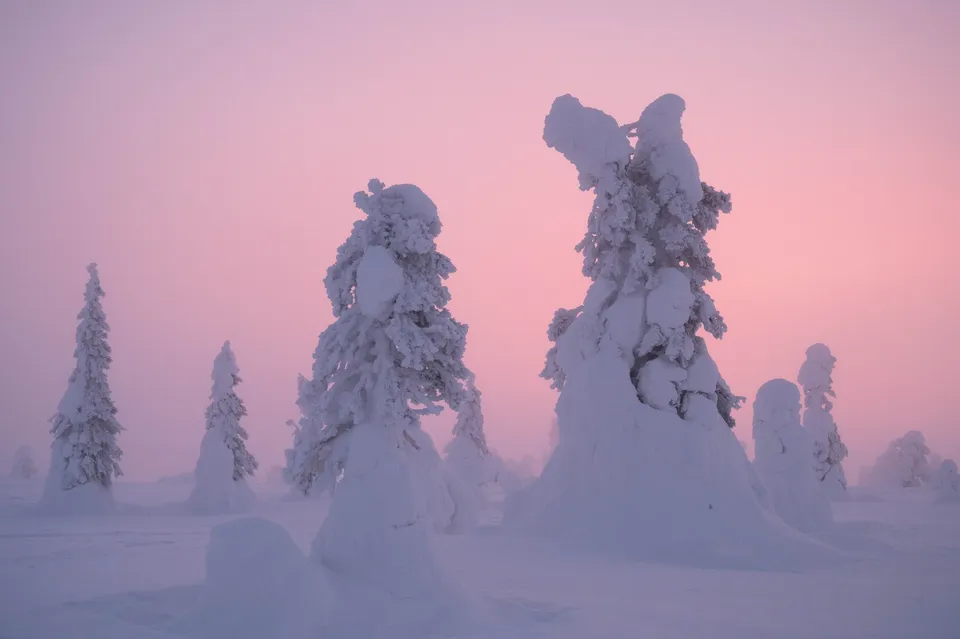
Lapland's famous "tykky" trees. Spruces bent under their snow load that look like frozen sculptures at dusk.
- Best time
- Twilight · December to March
- Coordinates
- 66.2280° N 28.5060° E
-
Sweden · 63.3125° N 13.3483° E
One of Sweden's largest waterfalls, known from the film of Ronia, the Robber's Daughter. Paths follow the water, and the spray soaks camera and lenses.
-
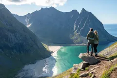
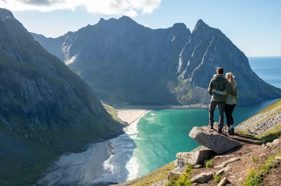
Norway · 68.0890° N 13.0928° E
543 metres above Kvalvika Beach, with the overhanging rock as a viewing platform. Two to three hours up from Fredvang.
- Best time
- Midnight sun · June to July
- Coordinates
- 68.0890° N 13.0928° E
-
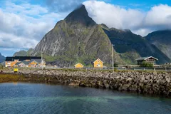
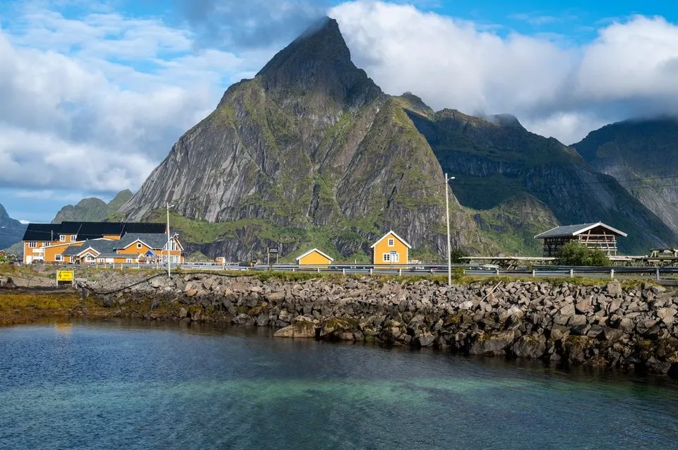
Norway · 67.9415° N 13.1117° E
Sakrisøy's ochre-yellow rorbuer cabins beneath the pyramid of Olstind, one of the most photographed scenes in the Lofoten, right off the E10.
- Best time
- Morning light · all year
- Coordinates
- 67.9415° N 13.1117° E
-
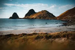
Norway · 68.7570° N 14.4733° E
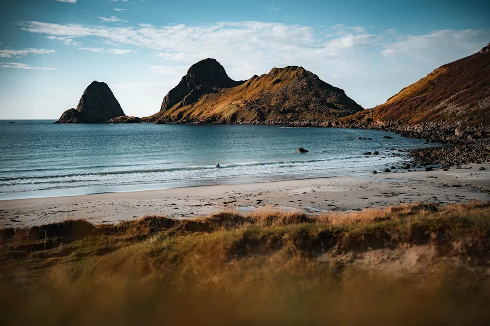
A lonely sandy beach in the bay of Sandvika near Bø. Off the coast the rocky peninsula of Engenyken and the pointed island of Spjøten rise from the sea.
-
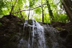
Sweden · 58.4917° N 13.7452° E
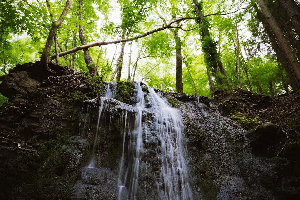
A stream with several waterfalls carrying little water, falling like strands of silver over the rock steps. A tripod and ND filter allow long exposures.
-
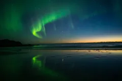
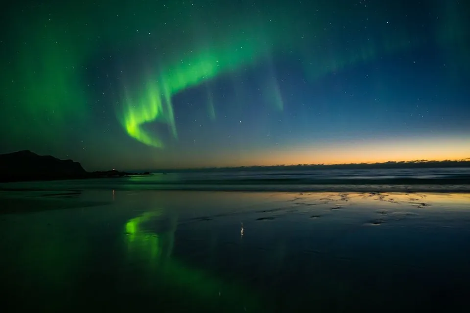
Norway · 68.1051° N 13.2917° E
A wide sandy beach whose thin film of water mirrors the mountains and, in winter, the northern lights. Park by the cemetery and walk in.
- Best time
- Northern lights · September to March
- Coordinates
- 68.1051° N 13.2917° E
-
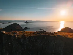
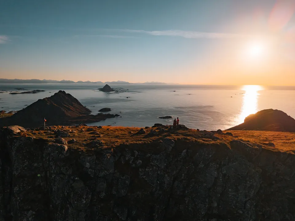
Norway · 68.6921° N 14.4116° E
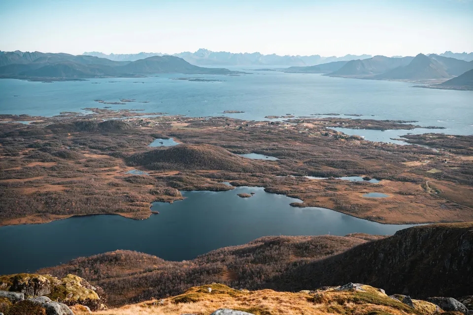
From the 403-metre summit near Bø the view reaches over countless islands to the pointed Gaukværøya and Lofoten. About 400 metres of ascent.
- Best time
- Evenings in clear weather, for the sunset over the sea
- Coordinates
- 68.6921° N 14.4116° E
-
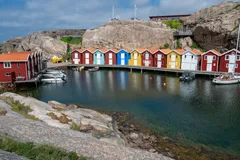
Sweden · 58.3531° N 11.2269° E
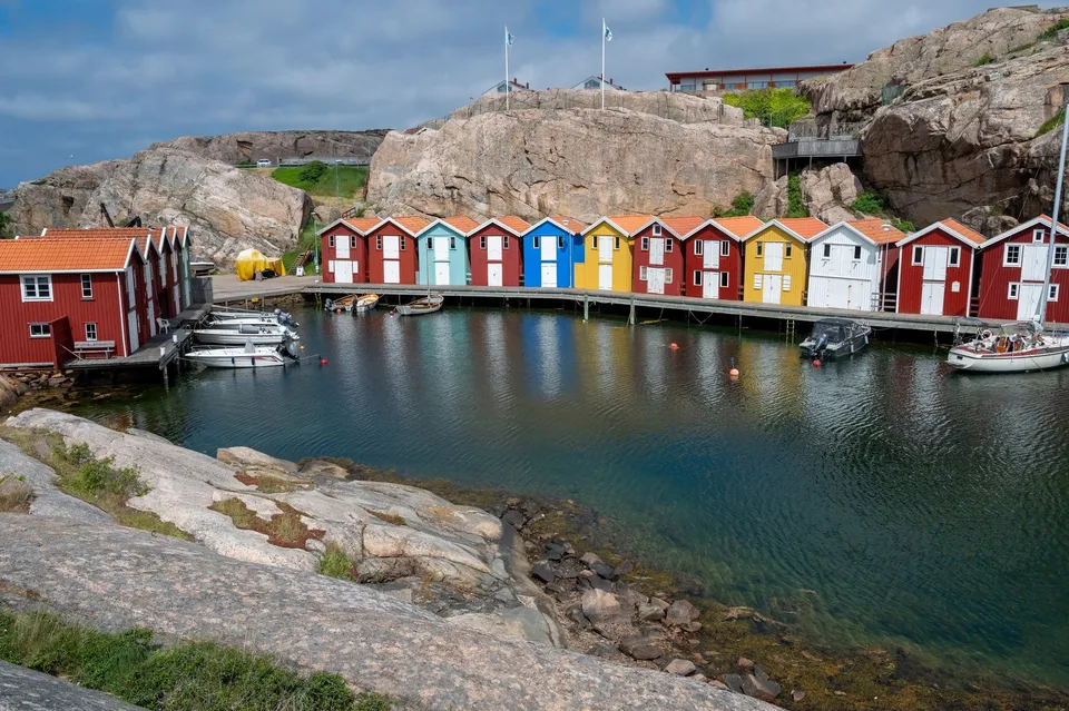
Colourful fishing huts on a bay of shimmering light blue sea. We climb over loose rocks to the sea and look out to a lighthouse.
-
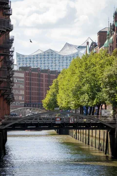
Germany · 53.5436° N 9.9930° E
Brick warehouses, canals and bridges, the largest unified warehouse complex in the world. Photographers cluster at the Wasserschloss.
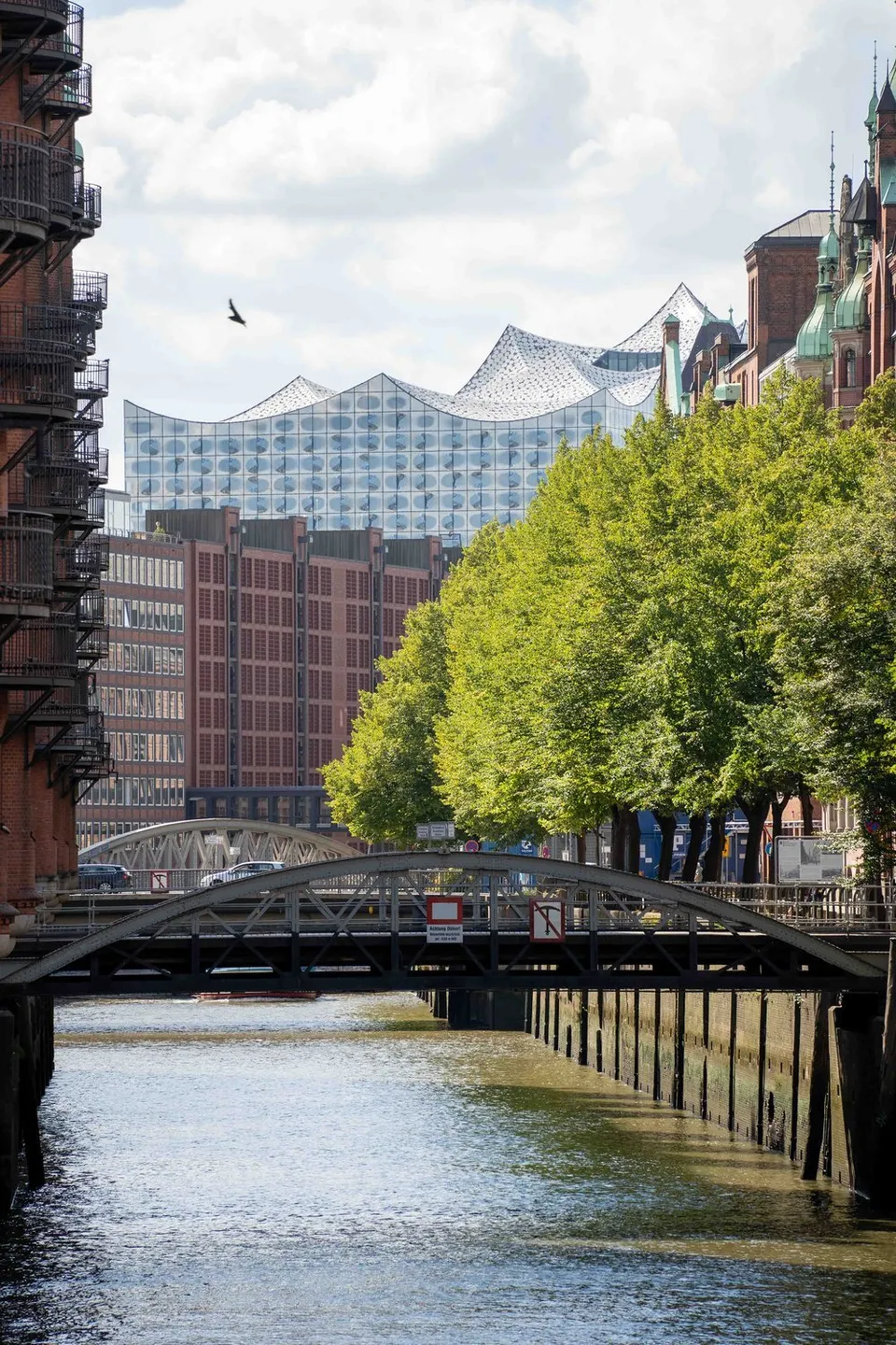
- Best time
- Morning or blue hour
- Coordinates
- 53.5436° N 9.9930° E
-

Scotland · 56.2133° N 2.9612° W
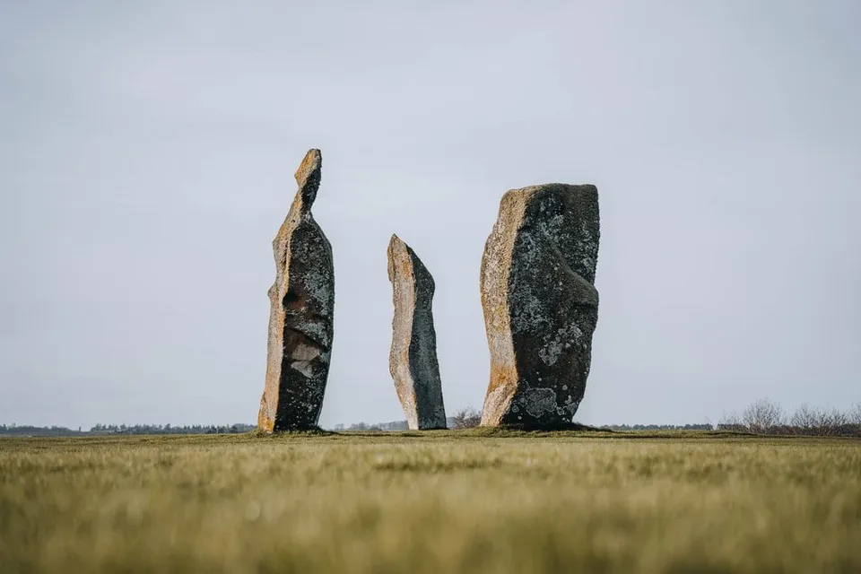
Three massive standing stones in the middle of a field, no fence, no visitor centre. First stop heading north.
-
Austria · 48.2085° N 16.3730° E
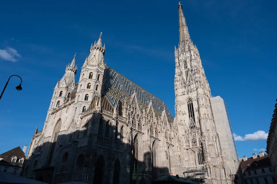
The cathedral with its patterned tiled roof. 343 steps of a spiral staircase lead up the south tower, and from the top we look down over all of Vienna.
-
Scotland · 58.2400° N 5.4026° W
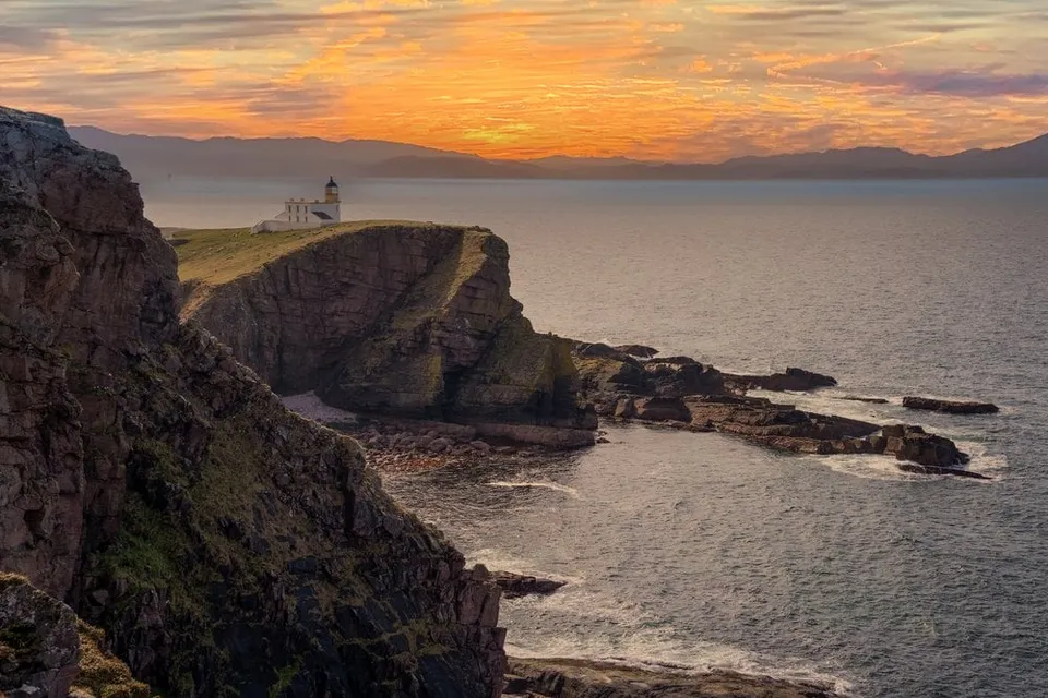
A lighthouse at the end of a narrow, winding road. The path to the Old Man of Stoer is often muddy, but the view is worth it anyway.
-
Norway · 63.0166° N 7.3560° E
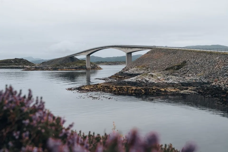
The Atlantic Road's "bridge to nowhere". Best angle from the small hill on the south side, where a telephoto compresses the curve perfectly.
- Best time
- Evening light · all year
- Coordinates
- 63.0166° N 7.3560° E
-

Hungary · 47.4970° N 19.0634° E
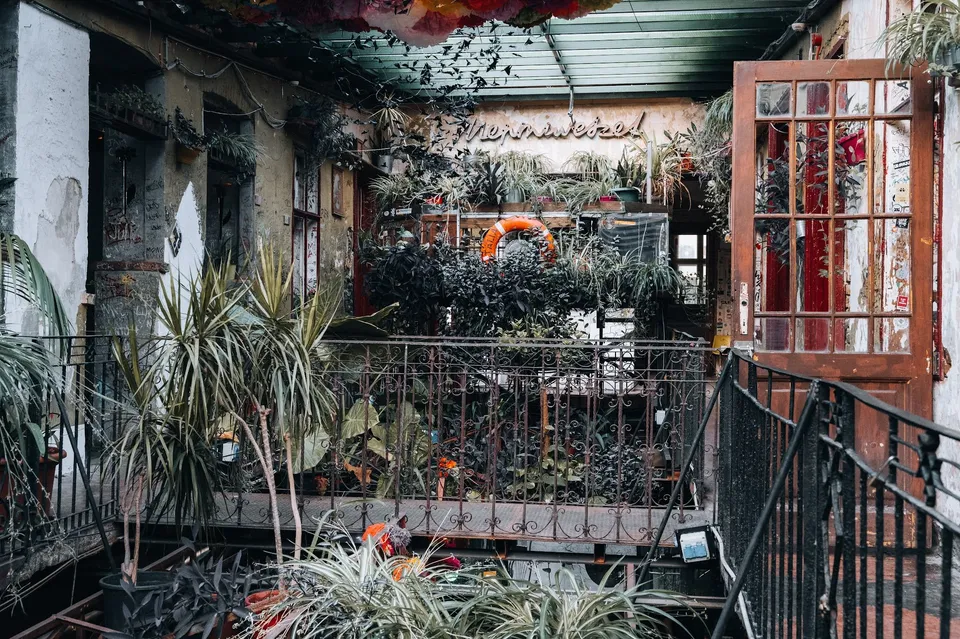
A typical ruin bar in an old, run-down building. The courtyard is full of plants, seats in bathtubs and car tyres and a great deal of colour.
-
Sweden · 63.4453° N 12.7403° E
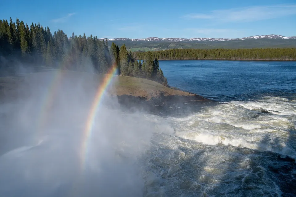
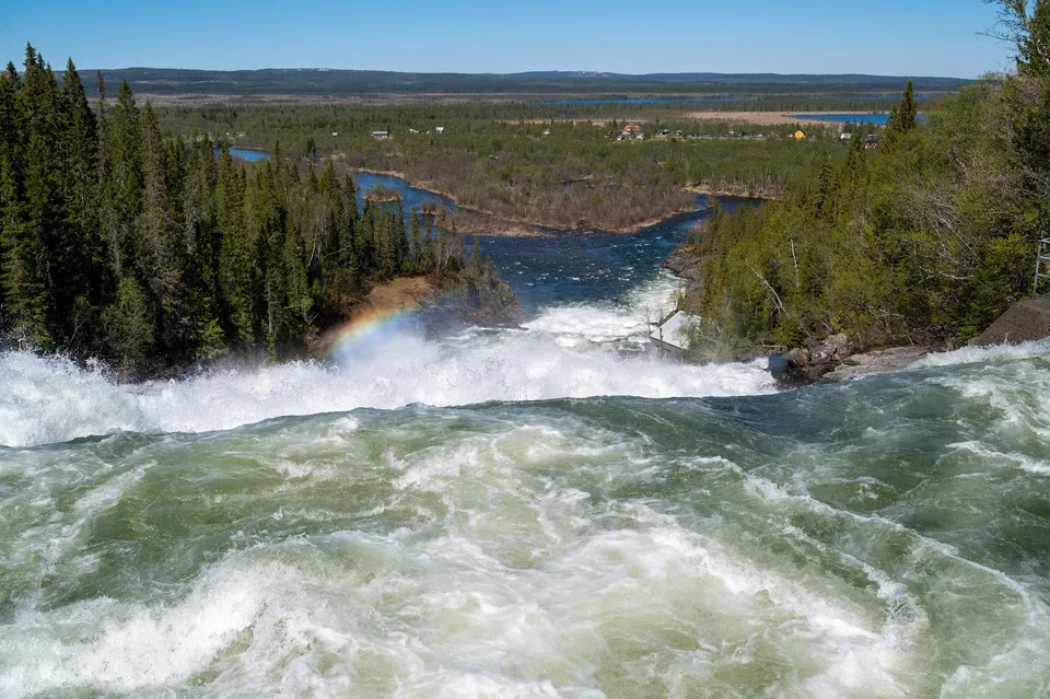
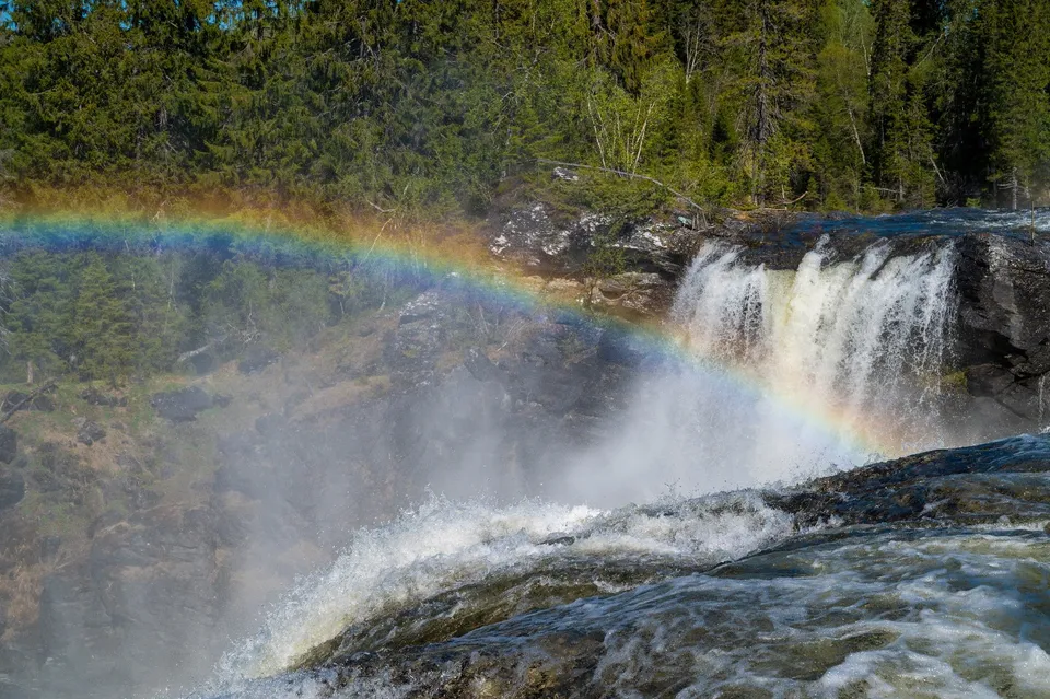
Sweden's largest waterfall by volume. In spring up to 740 m³ per second pour over the edge, and the spray hits us even from a distance.
- Best time
- Spring · evening sun for the rainbow
- Coordinates
- 63.4453° N 12.7403° E
-
Indonesia · 8.4119° S 115.5875° E
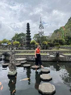
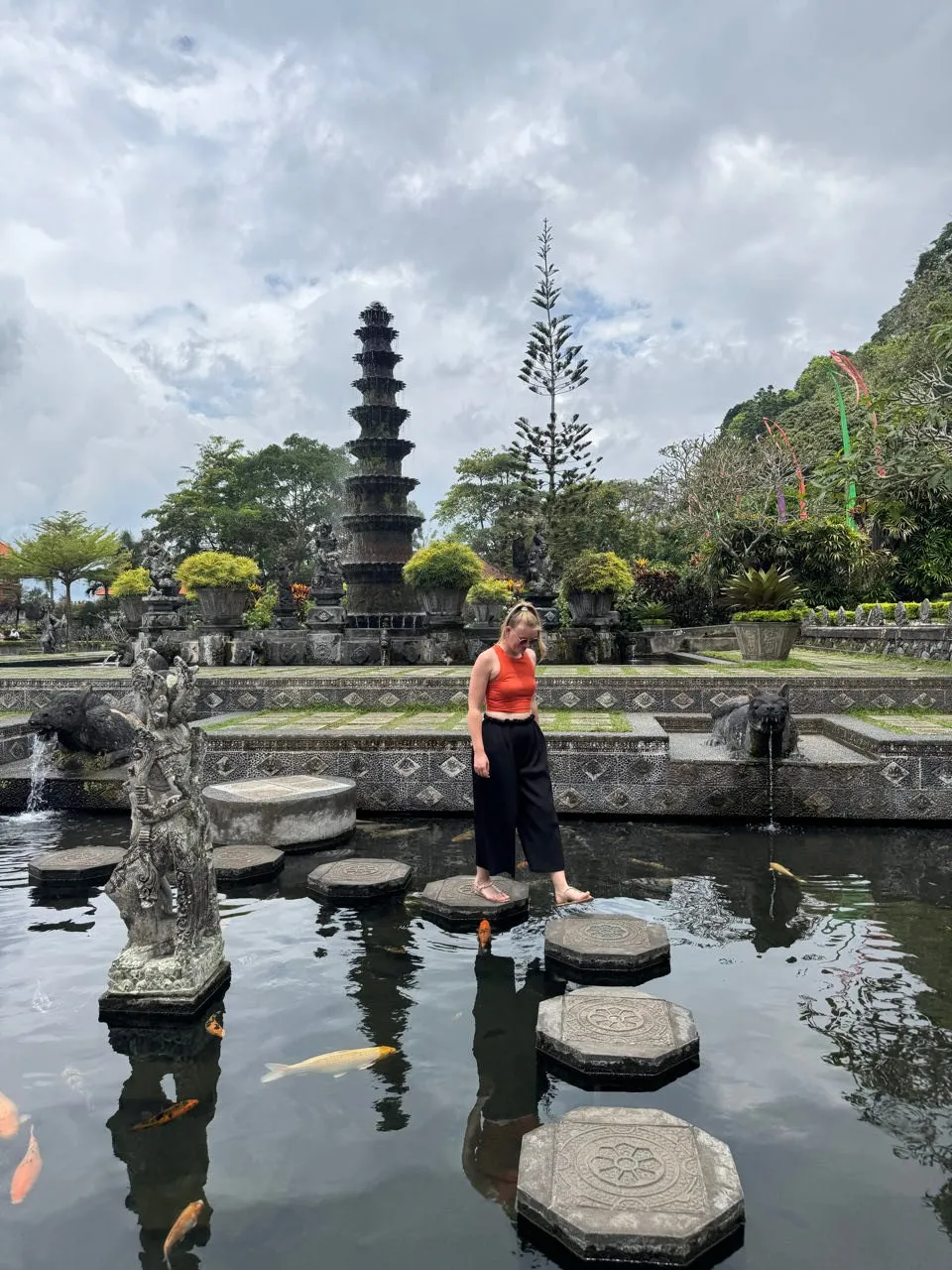
A famous water palace in eastern Bali, once a royal palace. Stepping stones cross the koi pond, and a multi-tiered tower rises behind them.
-
Sweden · 58.7167° N 14.6056° E
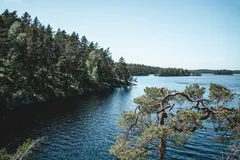
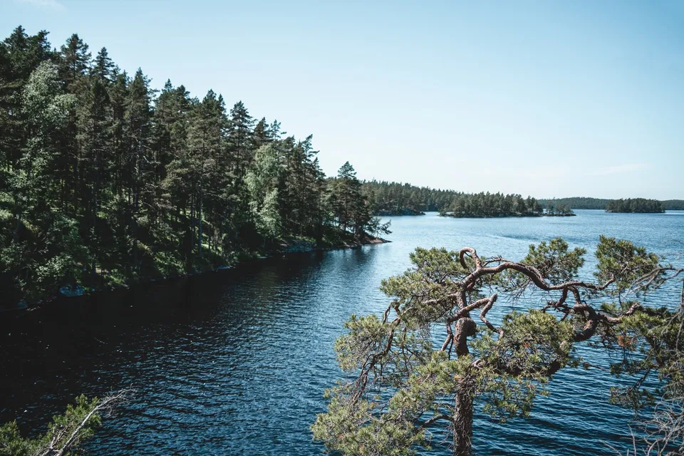
Old, wild forest full of boulders. The trail along the lakes keeps opening viewpoints over water tinted red and yellow.
-
Sweden · 57.3986° N 12.1031° E
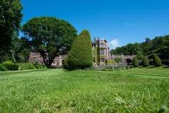
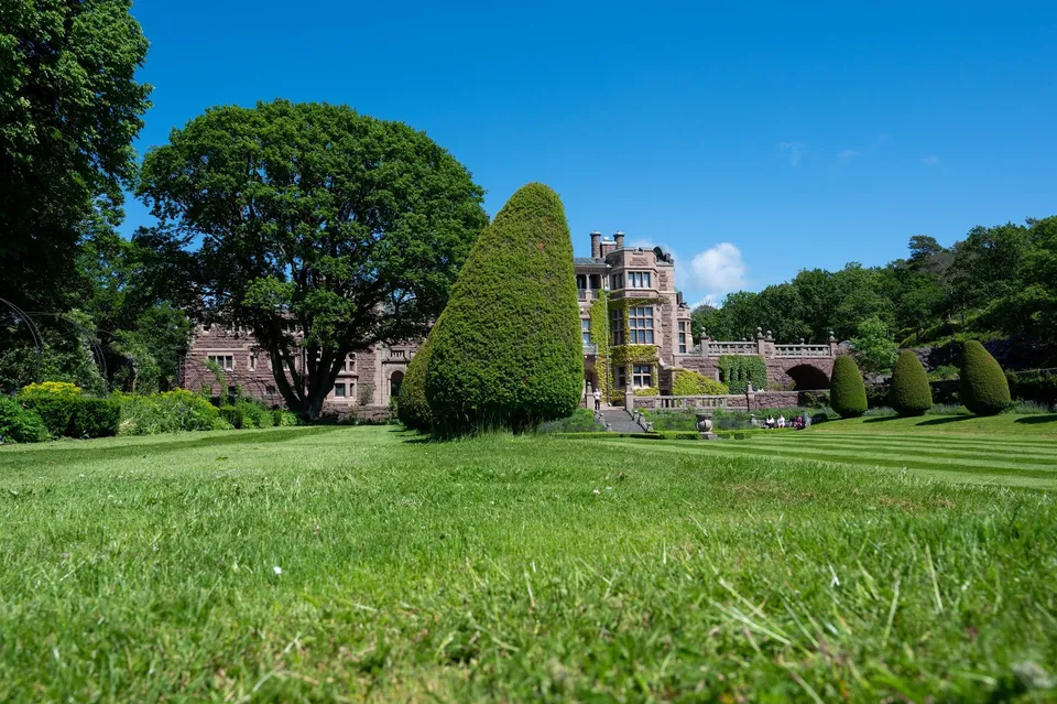
Completed around 1904, the castle south of Gothenburg sits right by the sea, surrounded by gardens with walking paths. The wind blows hard here.
-
Norway · 68.3628° N 14.9361° E
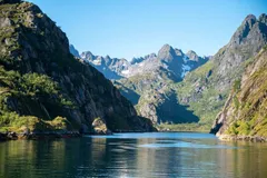
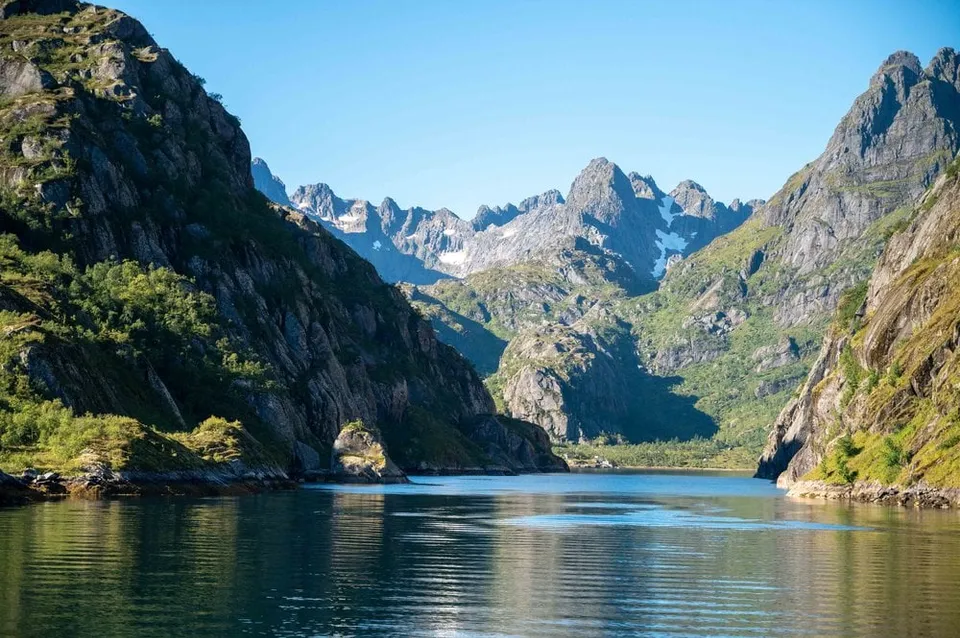
A two-kilometre fjord with an entrance barely 100 metres wide, walled in by 600 to 1000 metre faces. Reachable only by boat.
- Best time
- Midday, when light reaches into the fjord
- Coordinates
- 68.3628° N 14.9361° E
-
Norway · 69.4870° N 17.3333° E
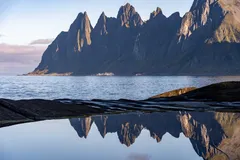
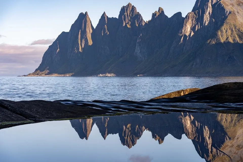
A boardwalk right on the coast facing the jagged Okshornan peaks, dramatic in heavy seas and under winter auroras.
- Best time
- Sunset · aurora season
- Coordinates
- 69.4870° N 17.3333° E
-
Norway · 68.6392° N 14.5424° E
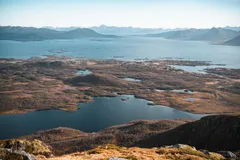
From the 467-metre Vetten, one of the most popular summits in Bø, you see all around over lakes, bogs and islands to Lofoten. Next to the summit stands the open hut Vettenbua.
-
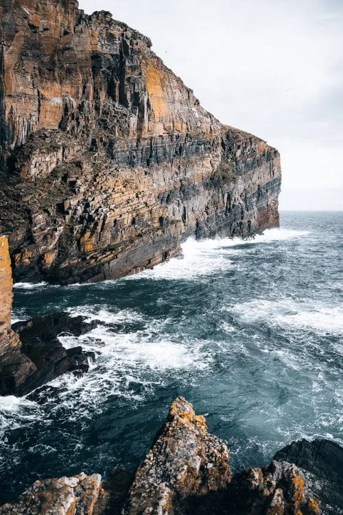
Scotland · 58.3457° N 3.1615° W
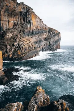
365 steps cut into the rock, down to a tiny harbour between cliffs. The sea roars at the bottom.
- Best time
- Late morning · with a swell
- Coordinates
- 58.3457° N 3.1615° W
No spot found.
This sends your IP address to the OpenStreetMap Foundation. You can change it any time in the .
No spot found.